Click Here. Double your traffic. Get Vendio Gallery - Now FREE!
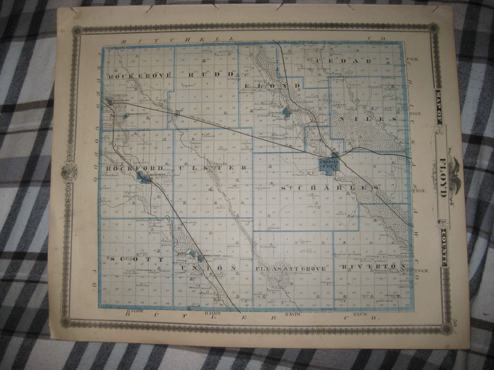
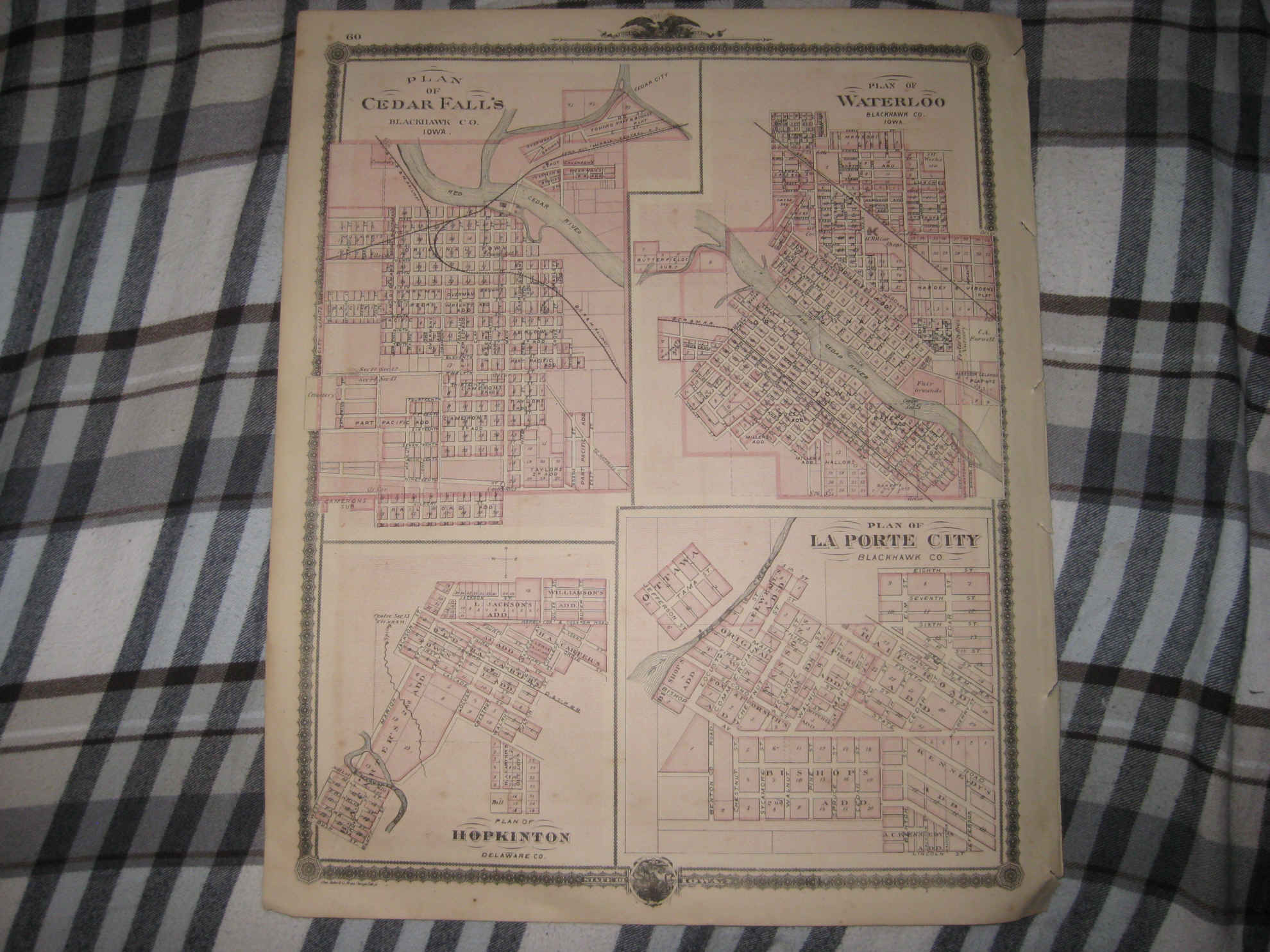
Vintage antique 1875 map. This is the finest map of this area I've ever seen, the condition is amazing. The map is 2 sided and either side would frame and display nicely. The map has beautiful patriotic American Bald Eagle vignette at top, at bottom is printed State of Iowa, with an art vignette as well, and also fine ornate border at outside edges. The map is titled Map of Floyd County, at bottom left is a detailed Reference chart, corresponding to the map itself, the map is very detailed showing the named home and land owners, locations of buildings, shows the cities, towns, villages, named railroads , named lakes, townships and much more. Reverse is Plan of Cedar Falls, Plan of Waterloo, Plan of La Porte City and Plan of Hopkinton. The condition is just amazing, beautiful topflight condition. Very finely produced map, printed on thick fine paper. This is an antique map and not a reprint or reproduction. The map is from the very rare 1875 Andreas Illustrated Historical Atlas of the State of Iowa. The map is a fascinating and historic period look at this area at this time. The photo wont show the full beauty of the map. The map is in nice shape and would frame and display quite beautifully. The size of the map is 14.5" by 17.5". Winning bidder pays $4.00 shipping domestic, more foreign.
Payment


I accept the following forms of payment:
- PayPal

Click to View Image Album

Click to View Image Album
Shipping & Handling
US Shipping |
International Shipping |
| FREE scheduling, supersized images and templates. Get Vendio Sales Manager. |

FREE scheduling, supersized images
and templates. Get Vendio Sales Manager.