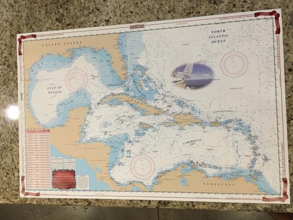
Waterproof Charts Map Caribbean Sea & Gulf of Mexico Nautical Marine NOAA 411
Up for sale is a very nice double sided waterproof map of Caribbean Sea and the Gulf of Mexico. Made by Waterproof Charts. NOAA 411 & NGA Chart 400 WGS84 World Mercator Datum
25" x 38"
This would look great framed in the house, or even to take with you traveling as it features a nautical chart for planning and passage making. It has a chart with GPS coordinates of major lighthouses.
The reverse side offers a more detailed coverage area from Florida and the Bahamas south to Jamaica and west to Mexico.