See our ratings  Add this shop to my favorites  |
||
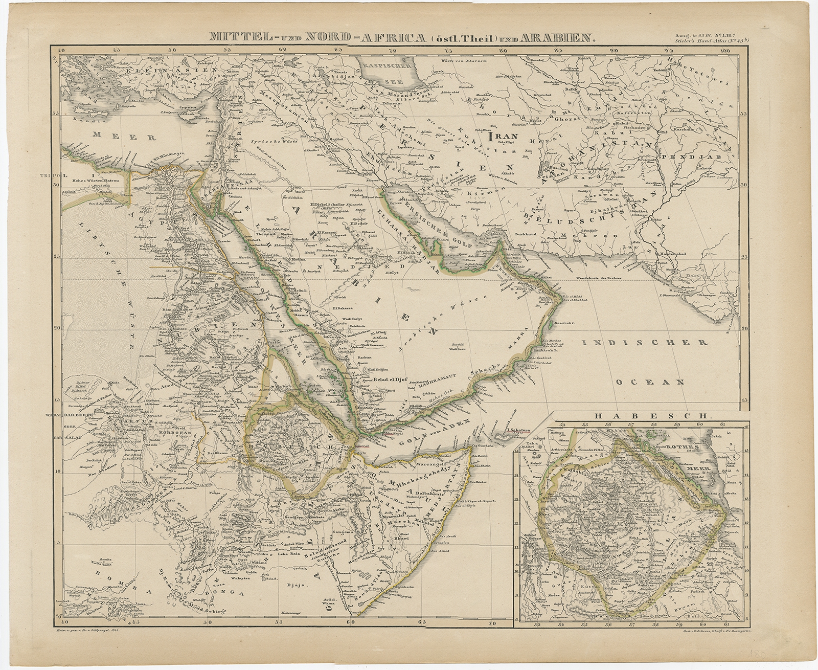 |
Antique Map of Africa and Arabia by Stieler (1845) $ 282.45 instead of Availability: in stock Condition : Very good, general age-related toning. Please study image carefully. Date : 1845 Overall size : 44 x 36 cm. Image size : 38.5 x 33 cm. Description: Antique map titled 'Mittel- und Nord-Africa (östl. Theil) und Arabien'. This map depicts North and Central Africa and Arabia with an inset map of Habesch (Ethiopia and Eritrea). Artists and Engravers: Engraved by Fr. v. Stülpnagel. Published by A. Stieler in 'Stieler's Hand-Atlas'. |
|