See our ratings  Add this shop to my favorites  |
||
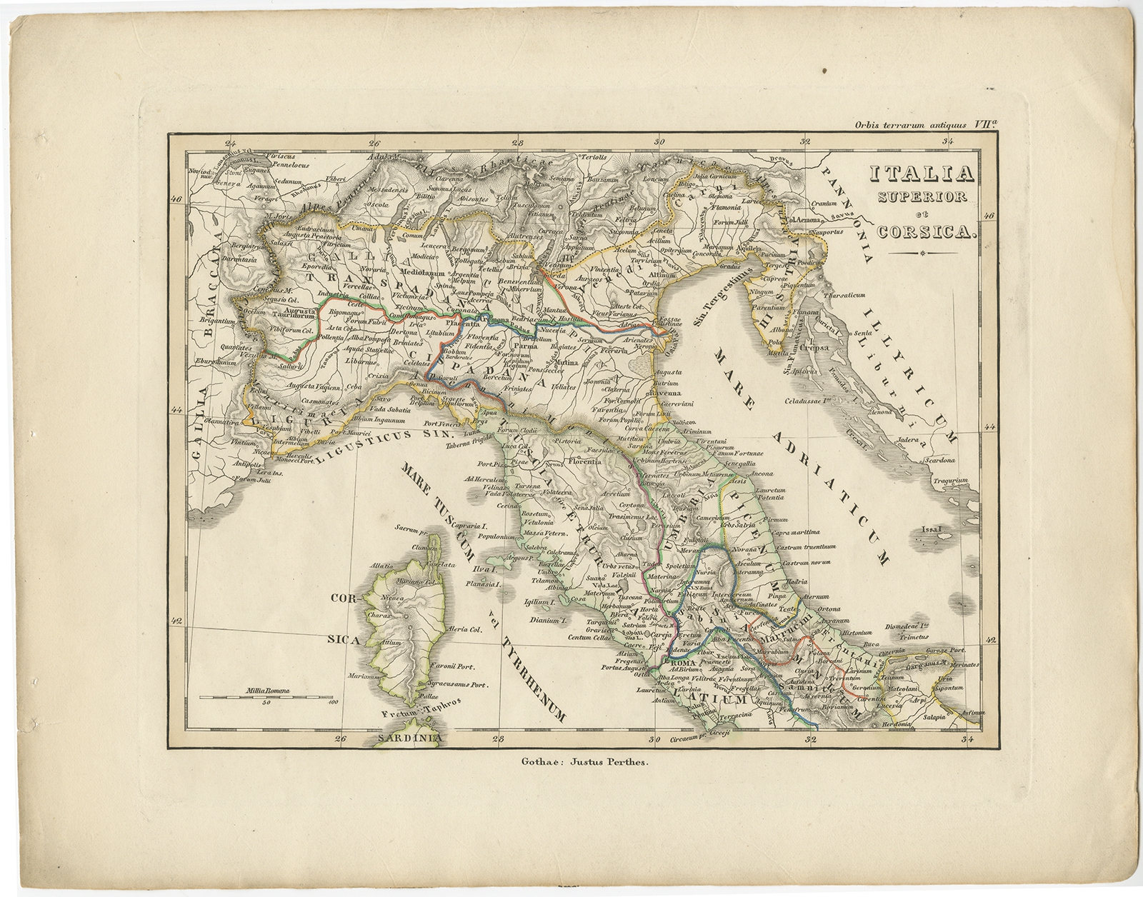 |
Antique Map of Italy and Corse by Perthes (1848) $ 305.99 instead of Availability: in stock Condition : Good, general age-related toning. Minor defects, please study image carefully. Date : 1848 Overall size : 31.7 x 24.8 cm. Image size : 23.6 x 17.5 cm. Description: Antique map titled 'Italia Superior et Corsica'. Old map of northern Italy and Corse originating from 'Orbis Terrarum Antiquus in usum Scholarum'. Artists and Engravers: Published by Justus Perthes, 1848. |
|