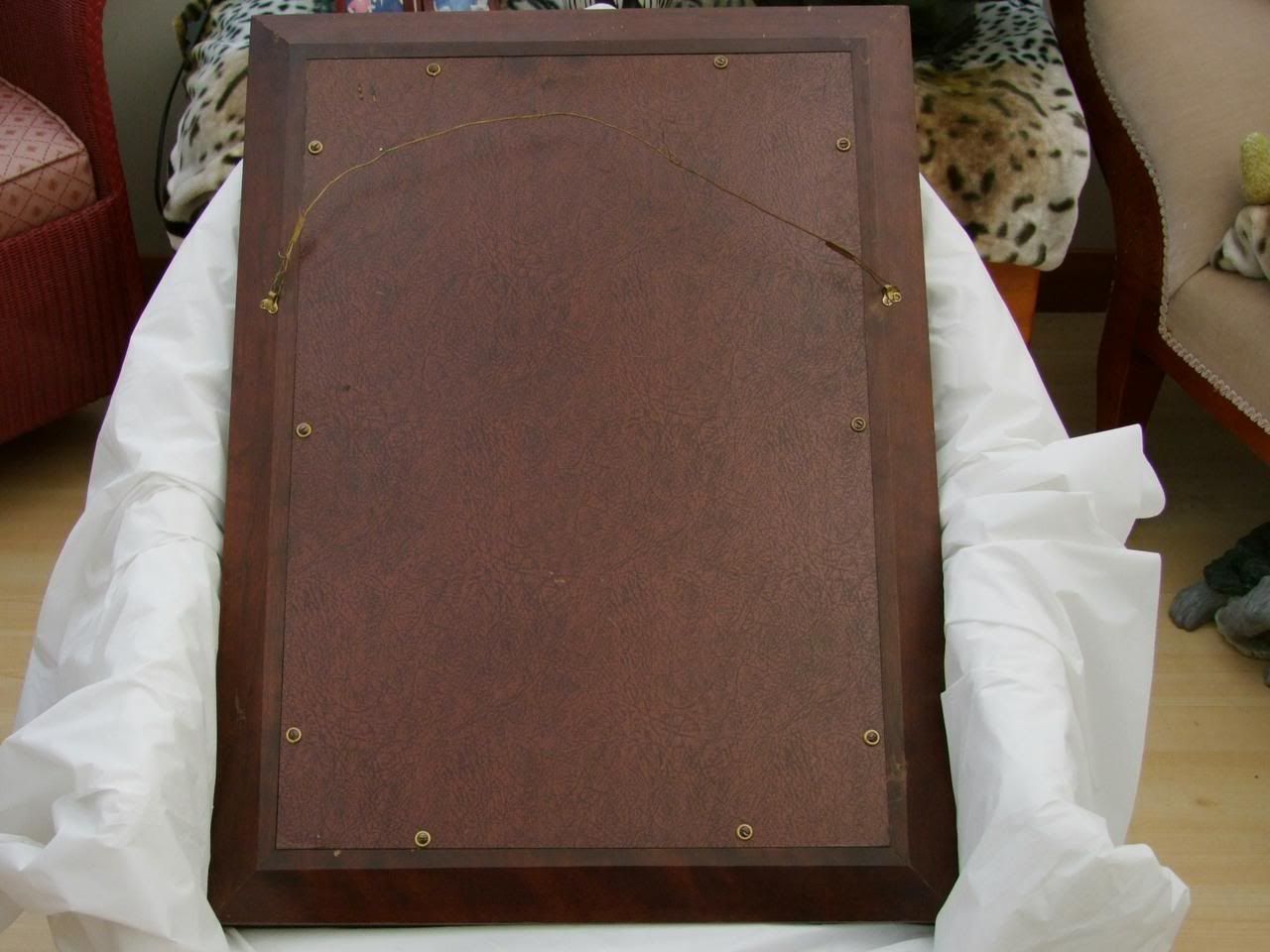
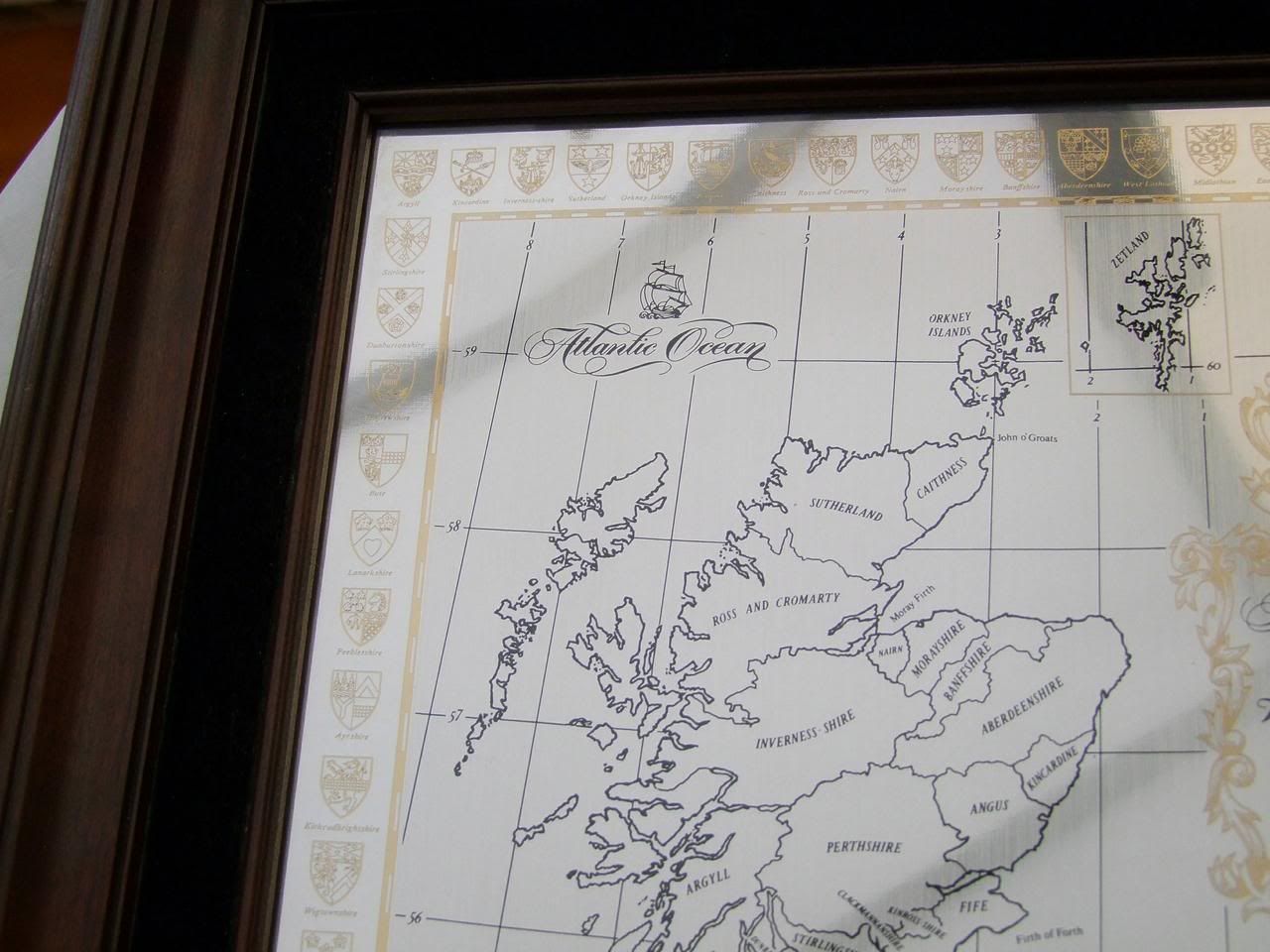
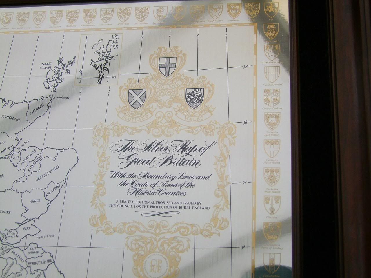
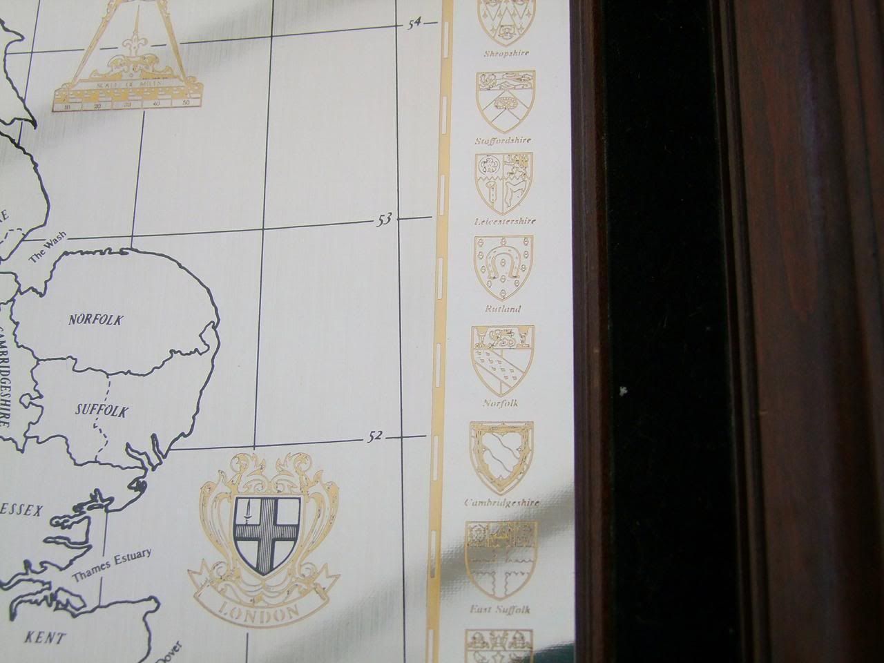
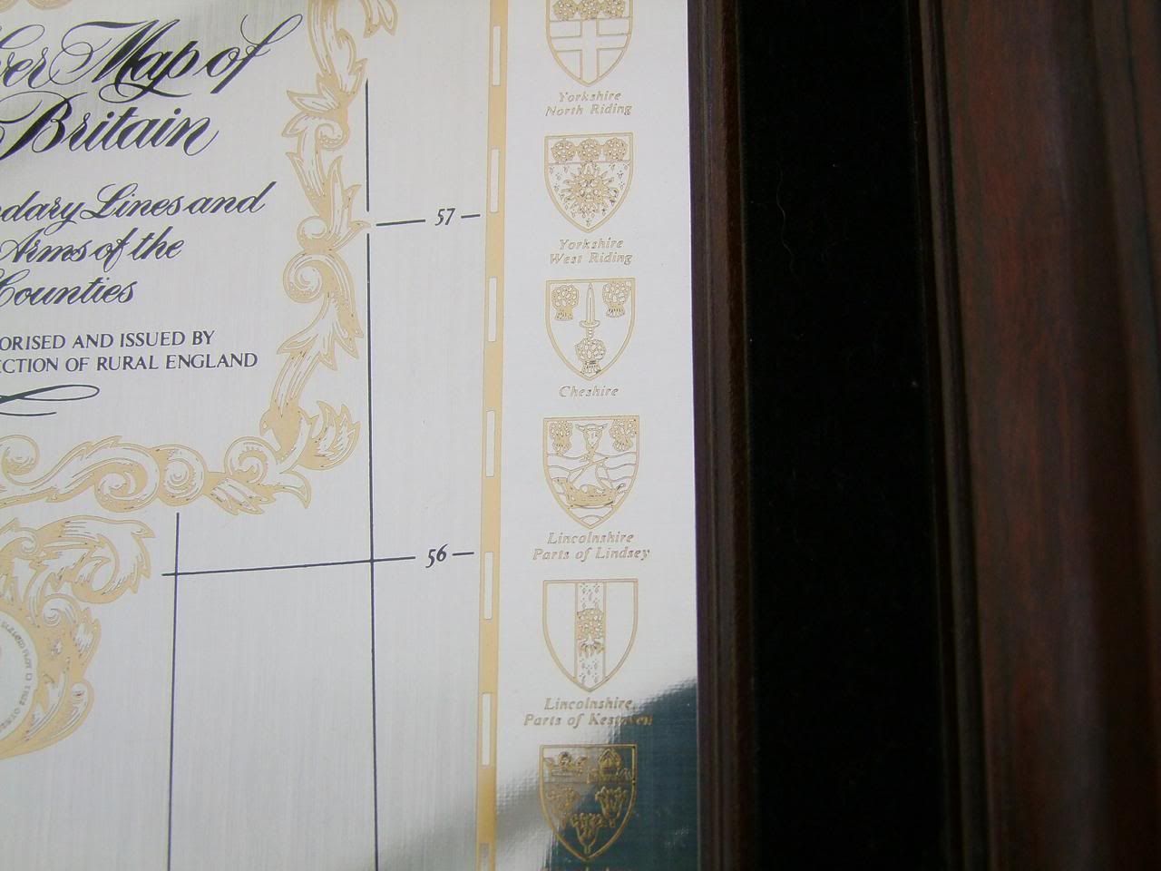
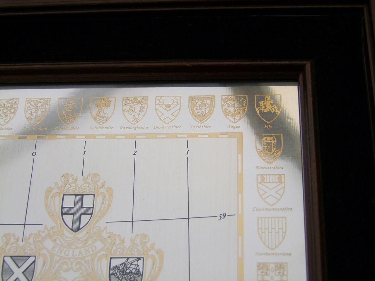
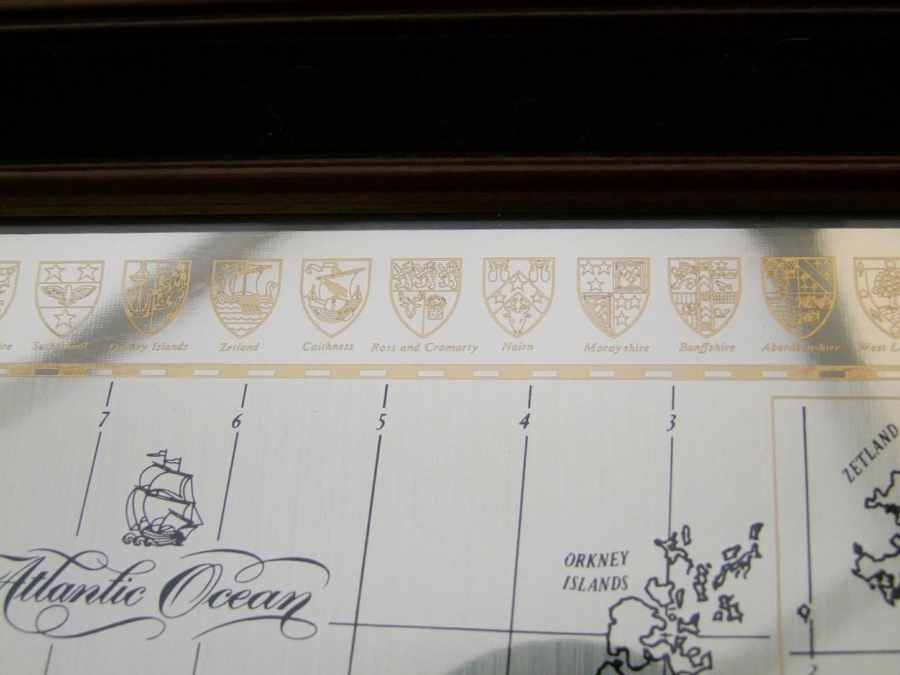
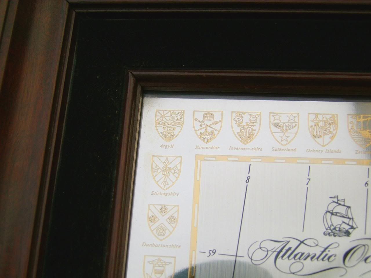
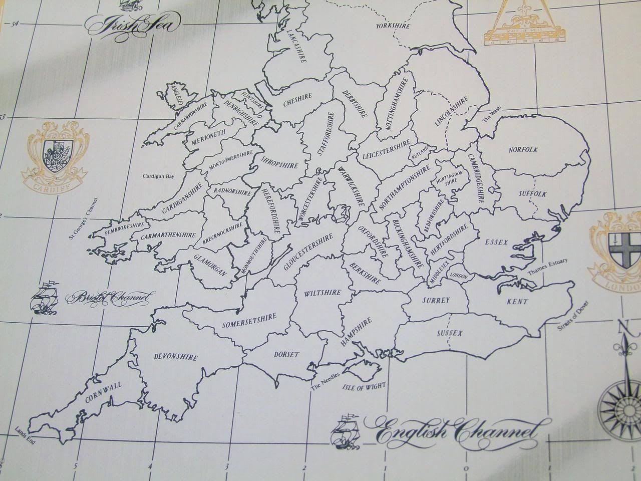
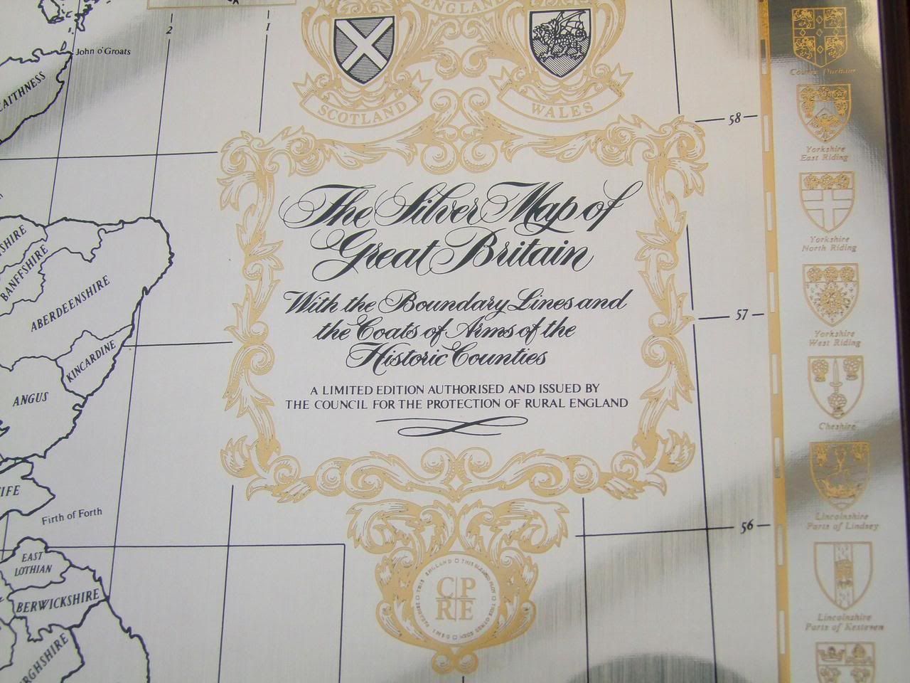
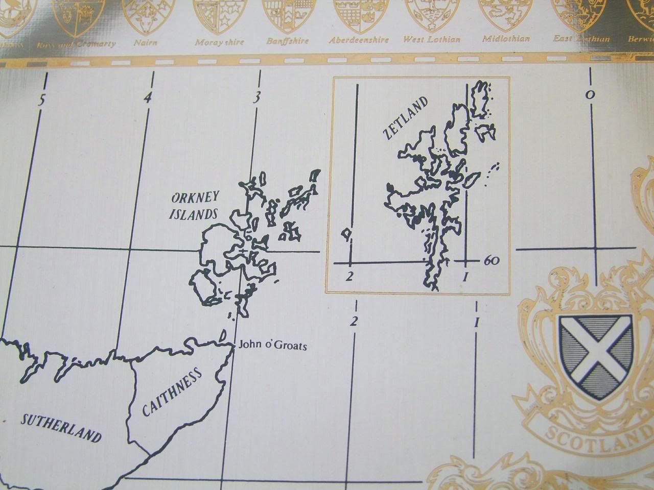
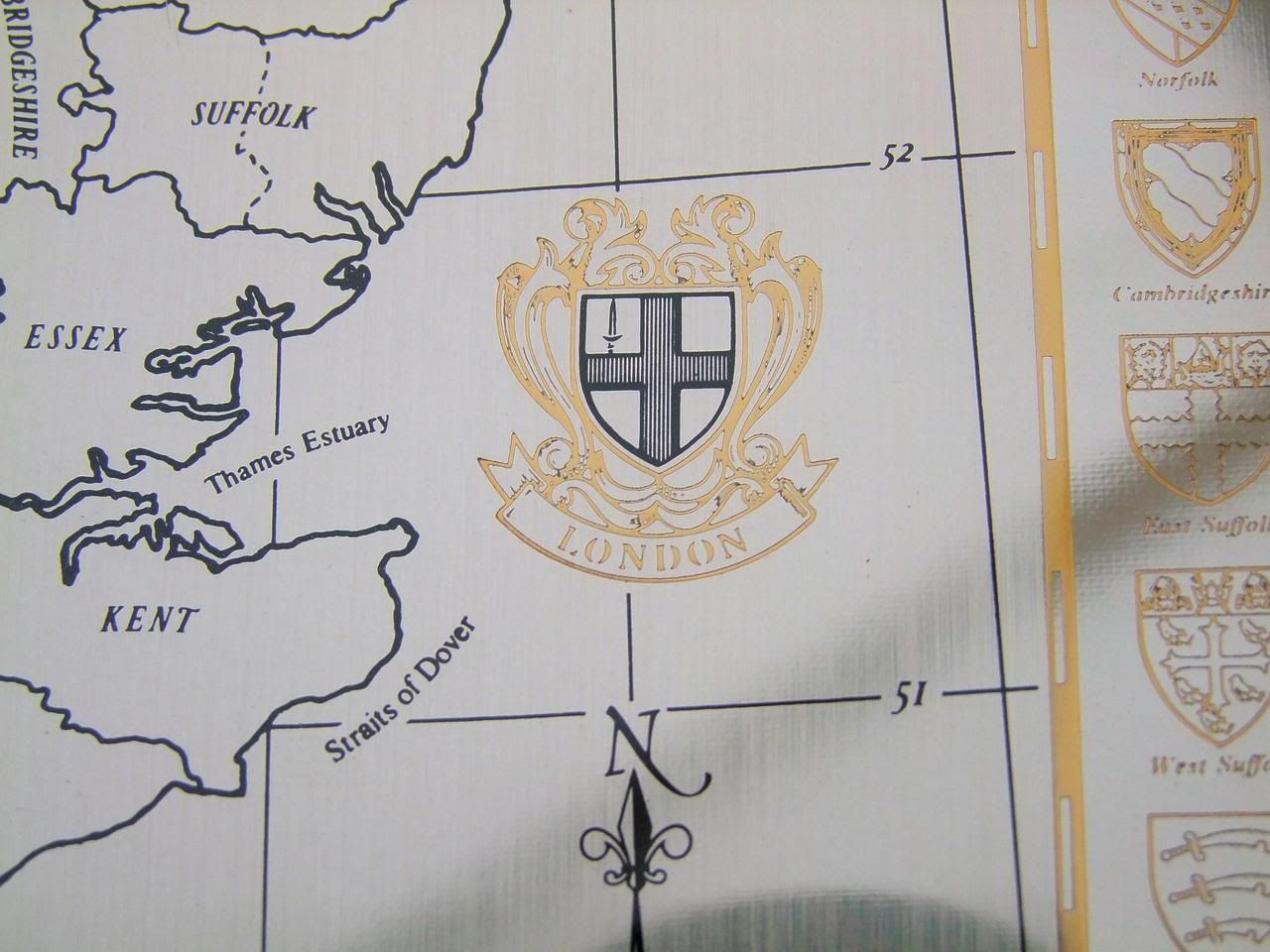
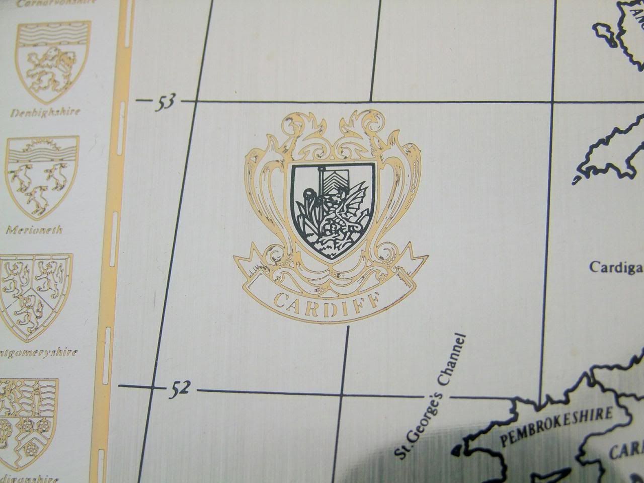
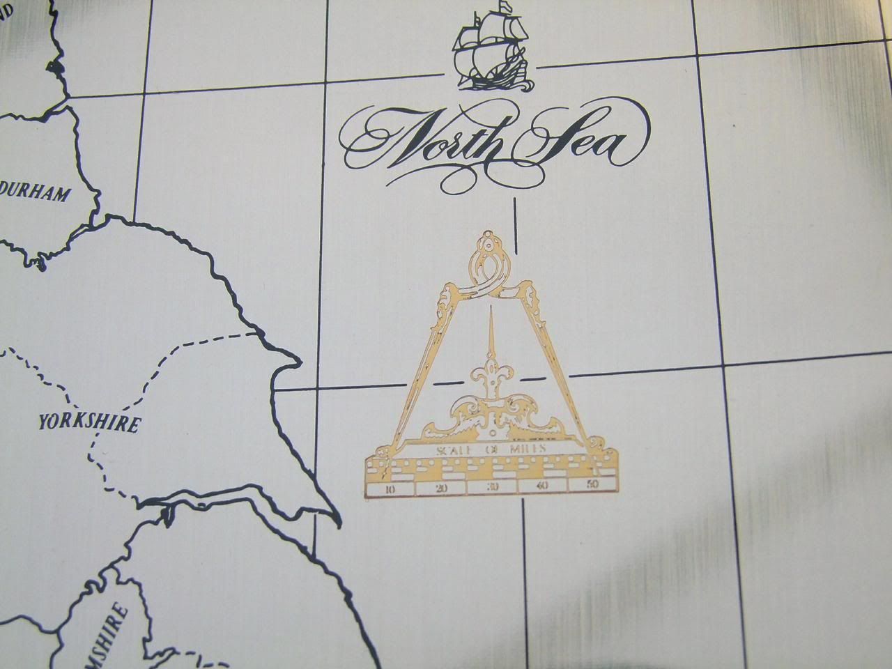
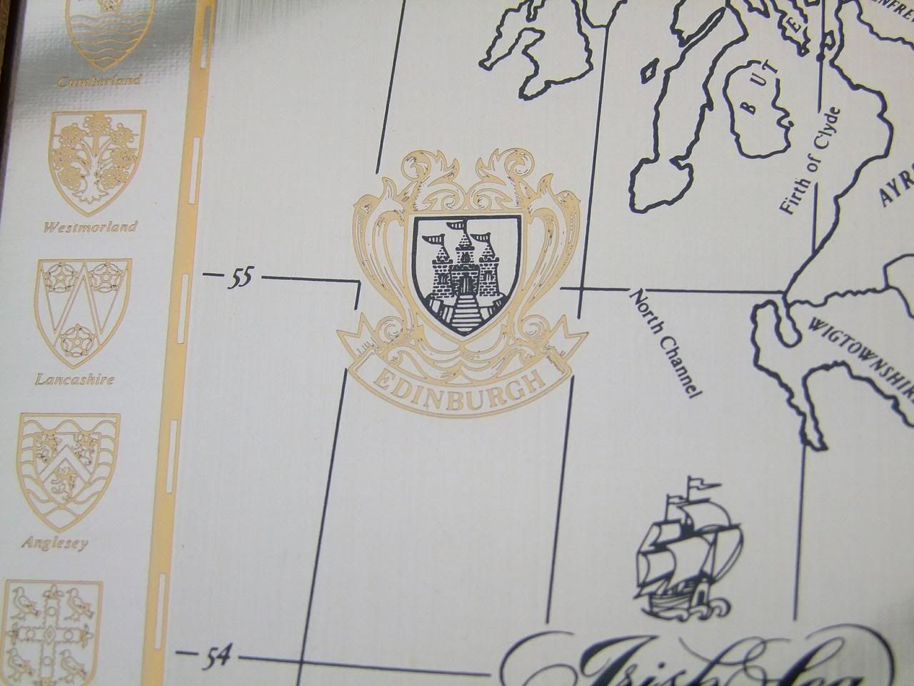
| A Stunning Queen Elizabeth II Hallmarked Sterling Silver Historical Map of the Great Britain 1 of 3 I have listed in my Shop 2 left 1 already sold The Frame is 69.5 cm in height with a width of 51.0 cm The Silver Map is 55.8 cm in height with a width of 37.4 cm and 0.3 mm in thickness The Silver Map has a calculated weight of 22.9 oz or 650 grams This can be found at Cooksongolds web site as they sell sterling silver sheet and if the sizes are put in the weight of the sheet is calculated A Highly Collectible Limited Edition Sterling Silver Framed map of Great Britain with the Boundary Lines and Coats of Arms of the Historic Counties The Map is a Limited Edition Authorised By The Council for the Protection of Rural England The Map is in Excellent Condition with just some light edge knocks to the frame (see photo's) please note black lines are reflections from the conservatory roof bars 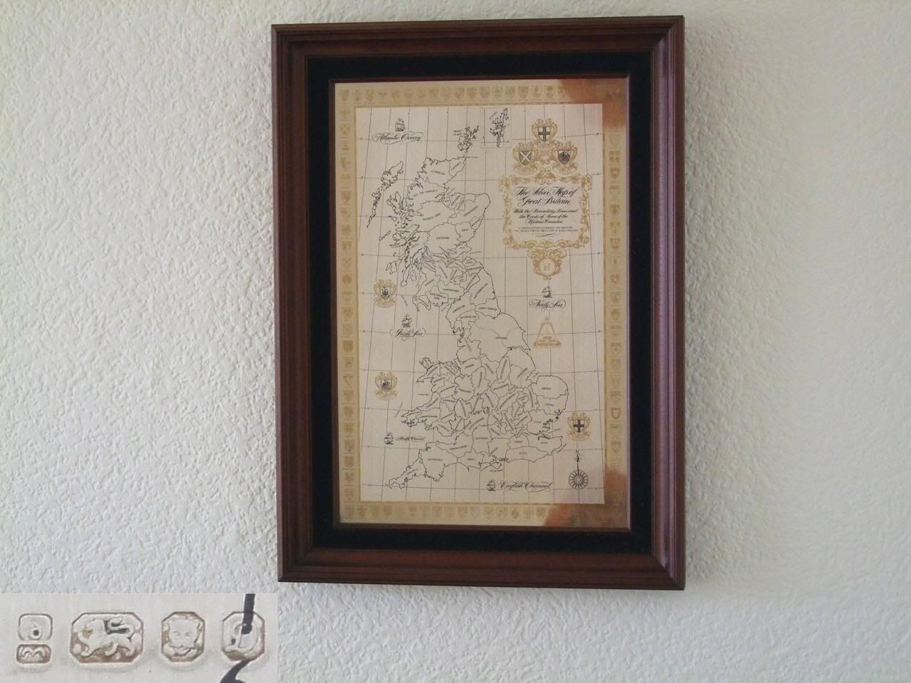
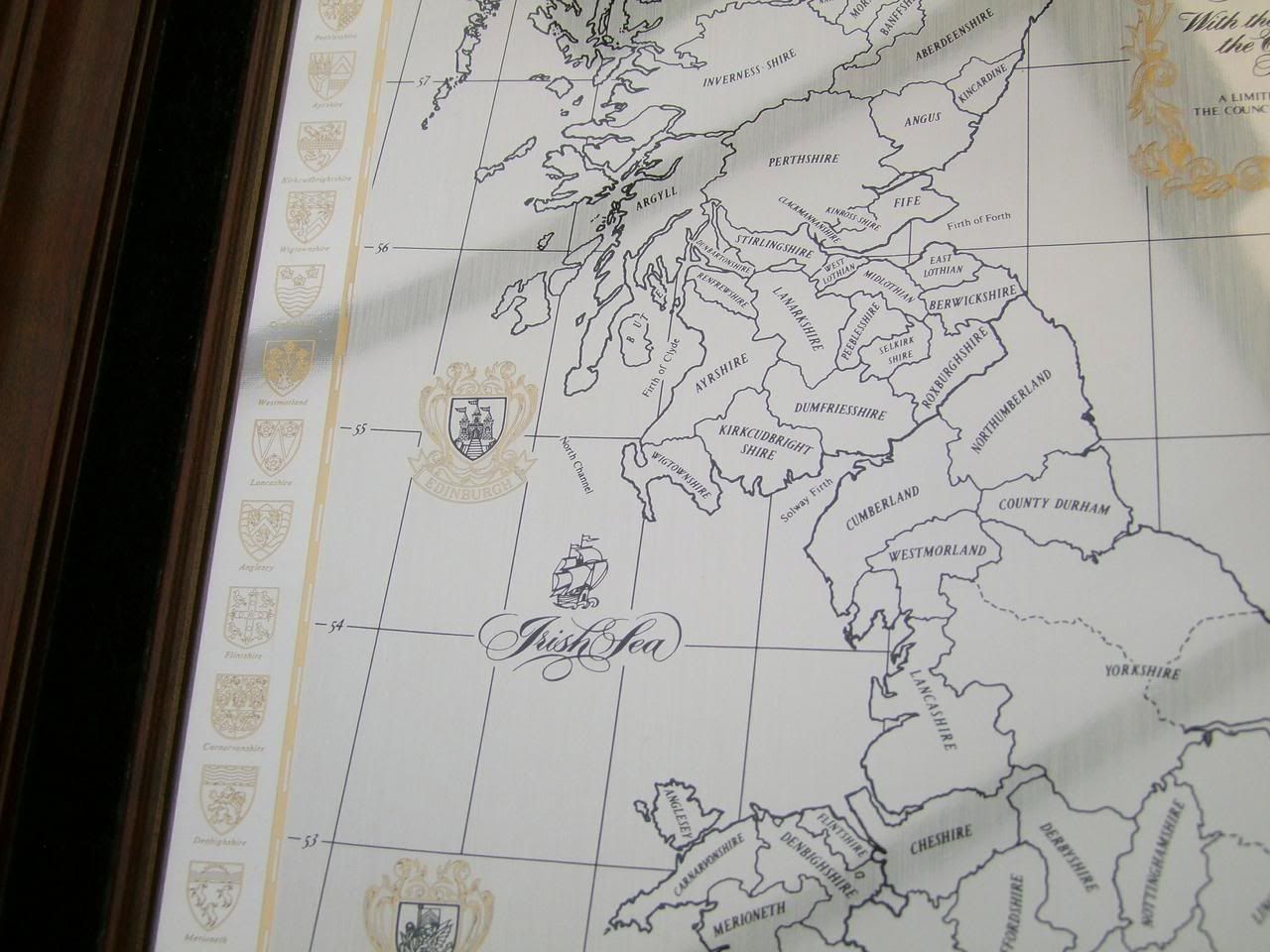
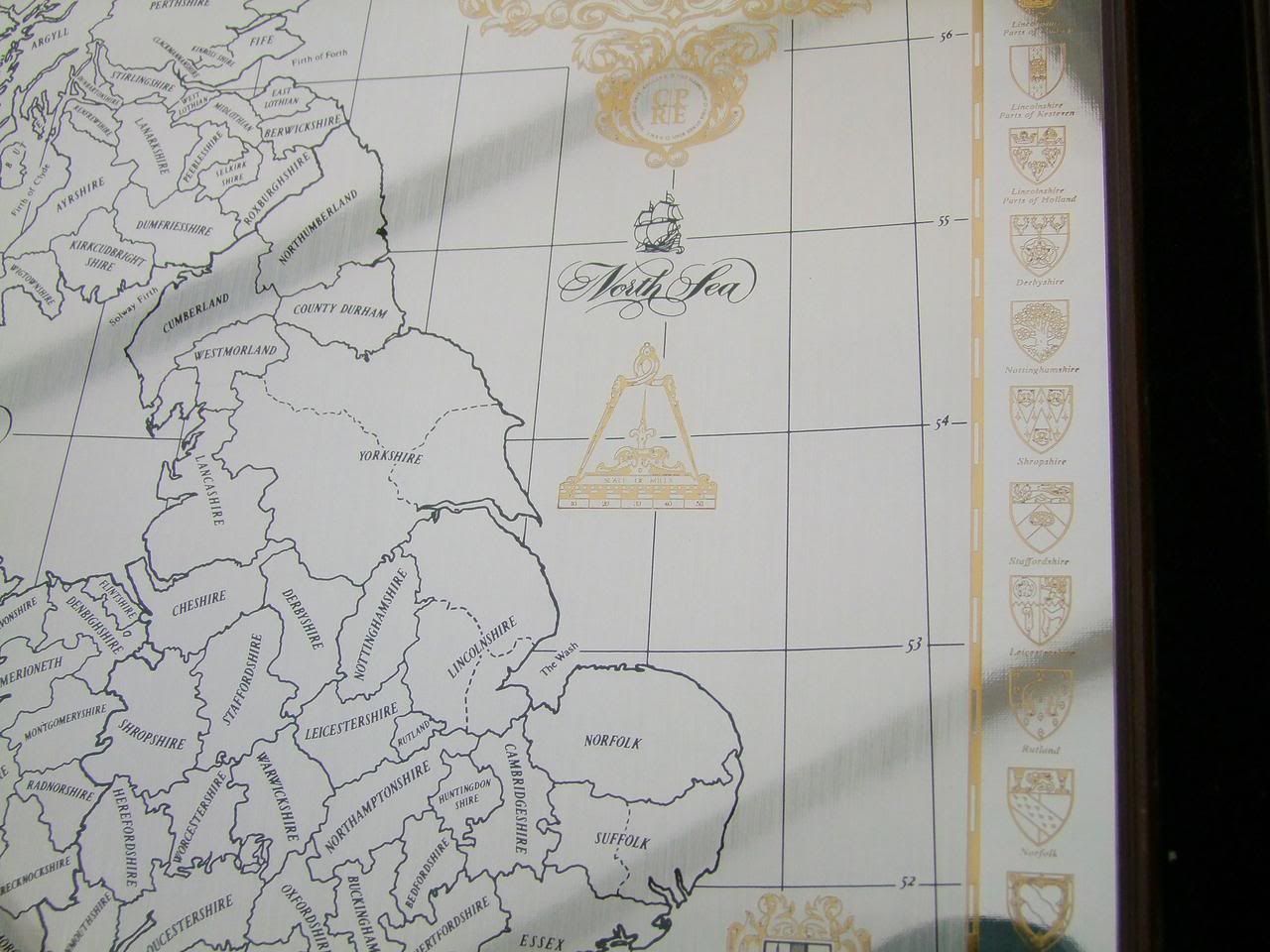
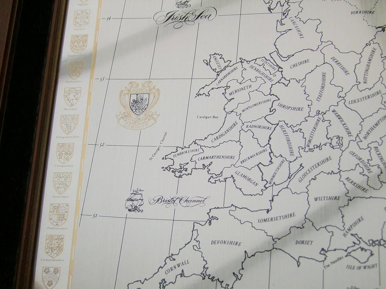
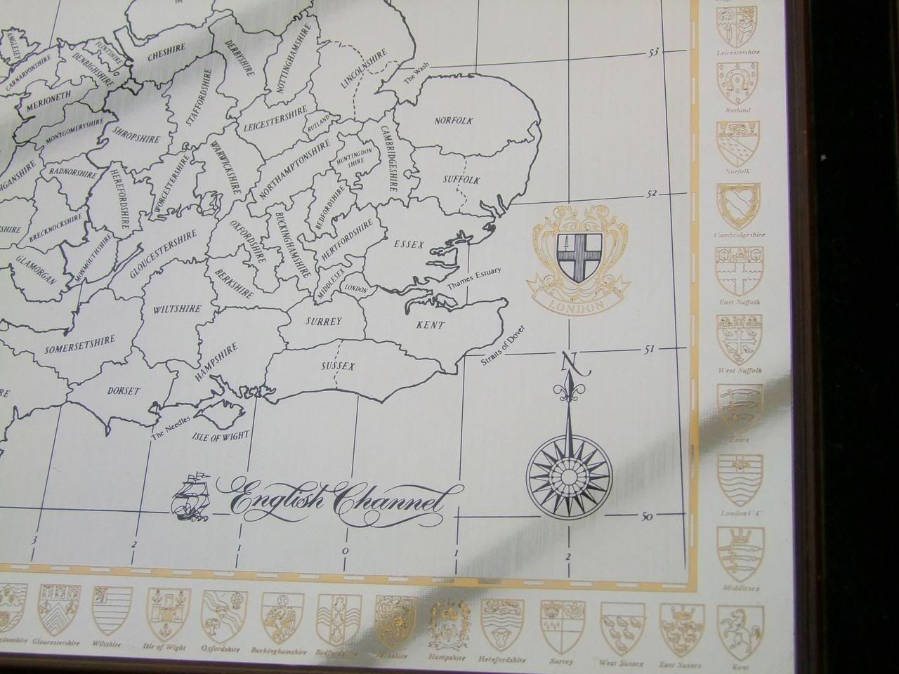
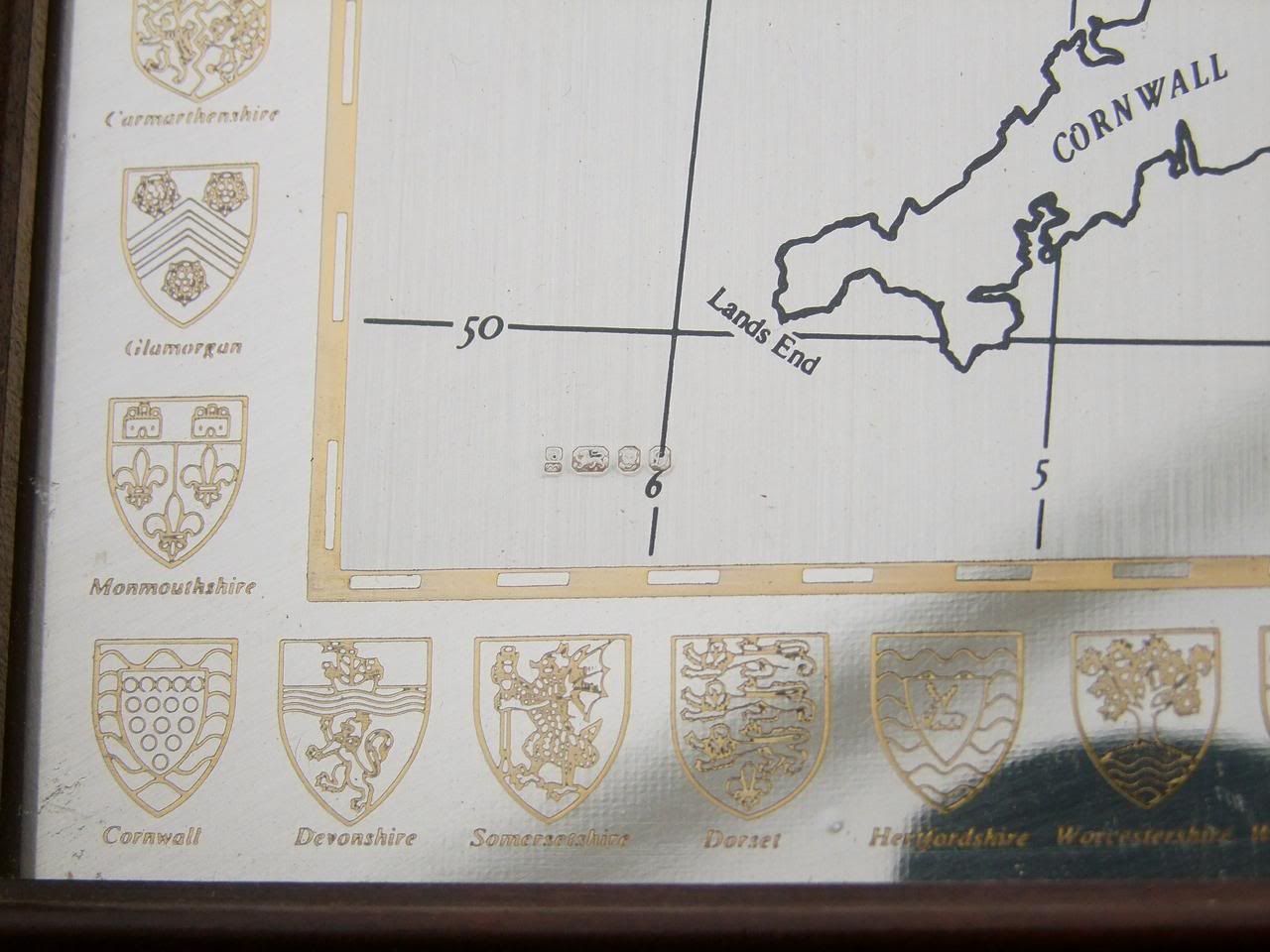
The Hallmarks are Makers Mark - D.M - Danbury Mint Lion Passant - Sterling Mark Town Mark - Leopards Head - London Date Letter - D - 1978 A Superb Queen Elizabeth II Hallmarked Sterling Silver Historical Map of the Great Britain Guaranteed to please if you have any questions please contact me please take a while to browse through my shop and other items on auction HAPPY SHOPPING |