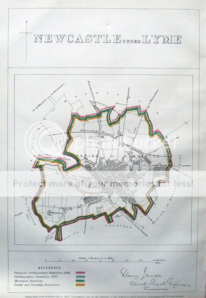
NEWCASTLE UNDER LYME
by Captain R.M. Parsons & Colonel Sir Henry James
Published London 1868
Drawn up by Captain R.M. Parsons and Colonel Sir Henry James of the Royal Engineers, and published for the Boundaries Commission of 1867/8, using the zincograph printing process. The map bears the facsimile signature of Henry James.
The country was surveyed by the commission in 1867 to 1868 to update the boundaries set down in the earlier 1832 reform bill - a major shake up of the nation's parliamentary representation.
A large scale of 5 inches to a mile is used and the original outline hand colouring identifies the 1832 and 1868 boundaries.
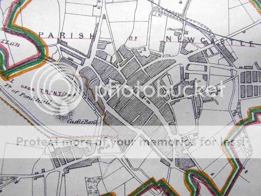
The detail shows some individual buildings as well as the main streets and roads.
Included with the map is a short survey report with fascinating details on population and housing etc. A wonderful record of mid 19th century Newcastle under Lyme, Staffordshire.
Fine unmarked condition.
Please see also close up image.
Approx. 14" x 10" (360mm x 250mm) overall, on light grade paper, blank verso.