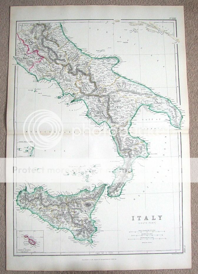
| ITALY (South Part) By W.Hughes Published by Blackie & Son London 1860 in "The Imperial Atlas of Modern Geography".
An attractive good sized steel engraved map of southern Italy enhanced with original outline colouring. Covers as far north as Rome and includes an inset detail map of the Maltese Islands, with Malta and Gozo. Fine condition. Printed on heavy grade paper with centre fold as issued, blank verso. Approx. 20" x 13" (500mm x 340mm) map area only with good margins beyond. Please scroll right down for close up images.
A GENUINE ANTIQUE MAP GUARANTEED OVER 150 YEARS OLD FROM LINDISFARNE PRINTS We do not deal in reproductions, facsimiles or copies of any kind.
SHIPPING
Two items are shipped for a single charge. Free shipping worldwide if three items or more purchased
D411 |