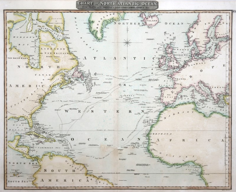
ATLANTIK: Kst.- Karte, von Moffat aus 'Thomson's New General Atlas', 'Chart of North Atlantic Ocean with tracks of the shipping to West Indies, North America &ce.',
mit altem Grenzkolorit, um 1816, 54 x 64
Zeigt den nördlichen Atlantik,mit Einzeichnung einiger Schiffsrouten und Untiefen. Im Kolorit etwas fleckig.
Artikelnummer: 331777