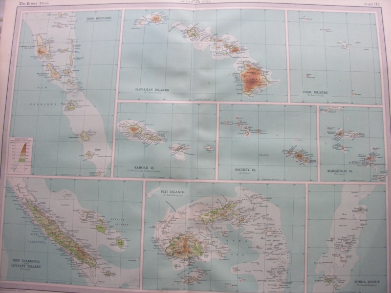
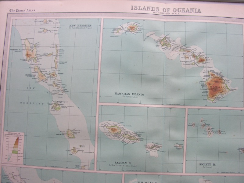
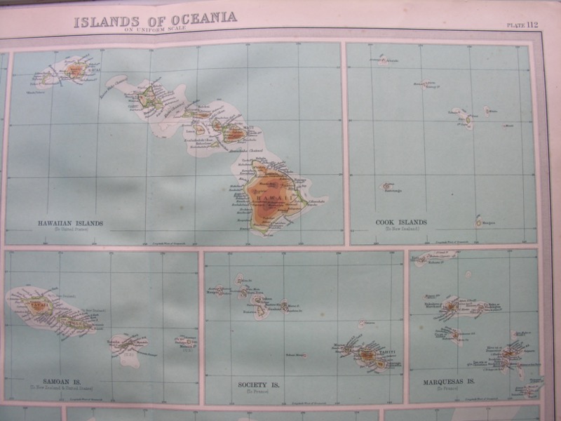
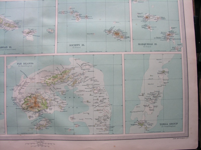
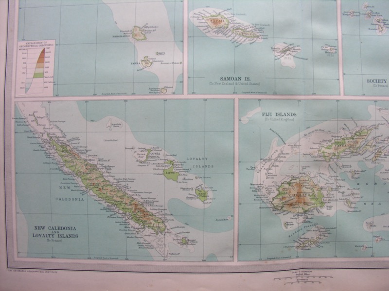
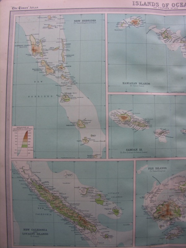
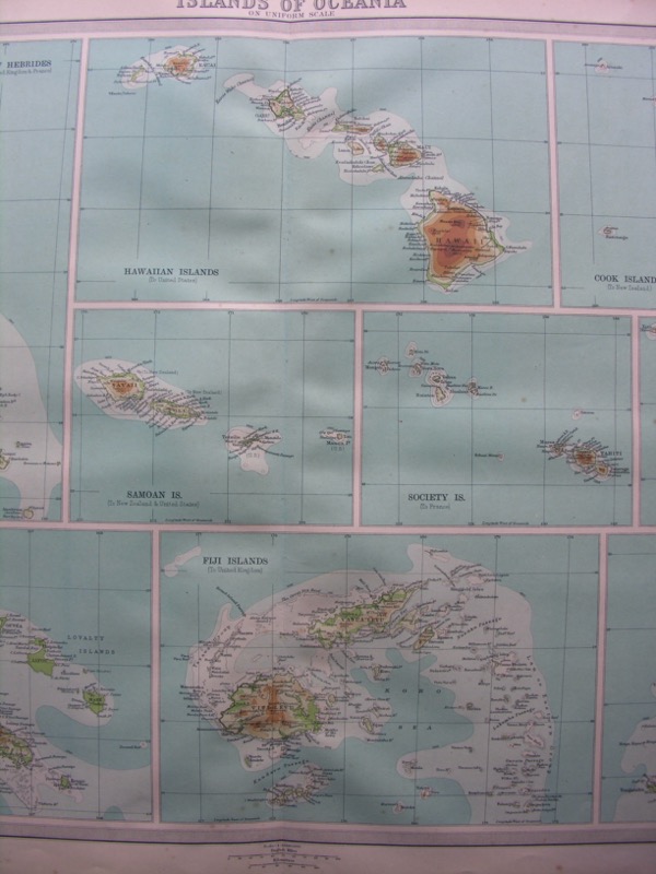
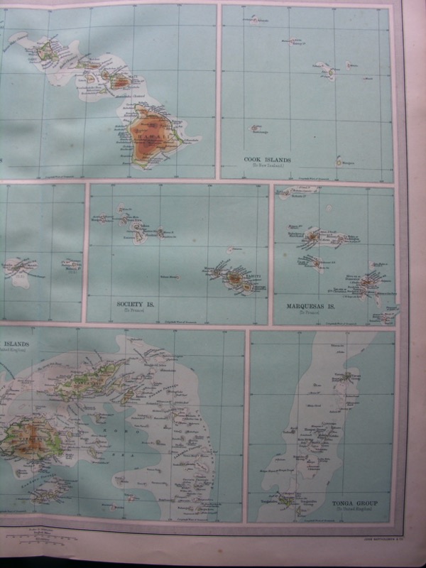
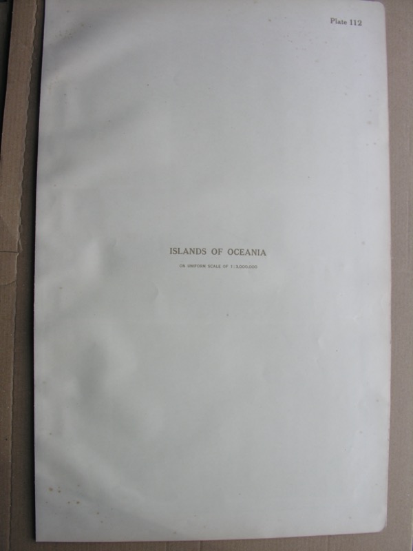
MAP OF ISLANDS OF OCEANIA
The Times Survey Atlas of the World
The Edinburgh Geographical Institute
Plate 112
Printed 1920
Scale - 1:3,000,000
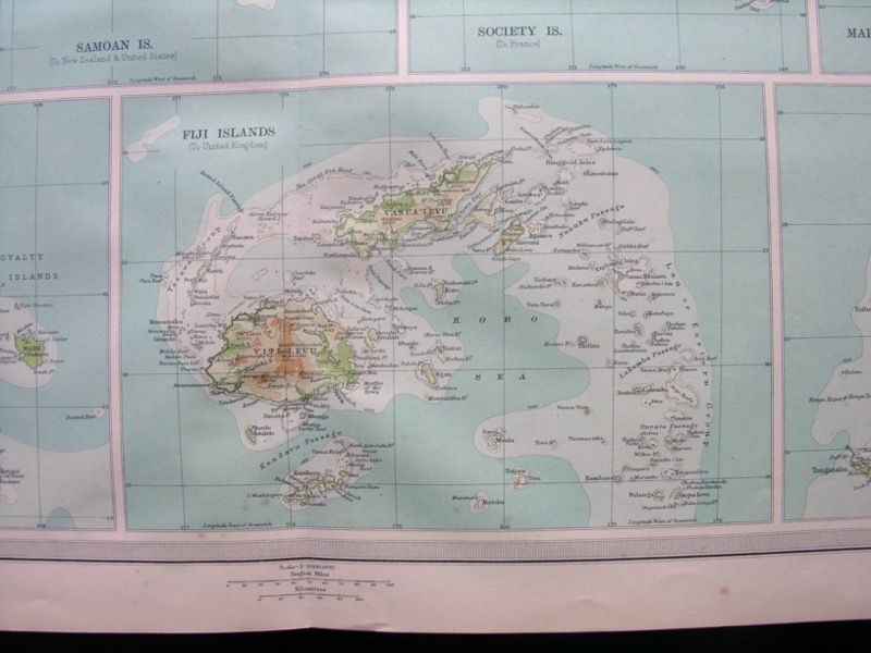
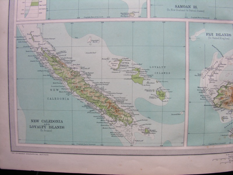
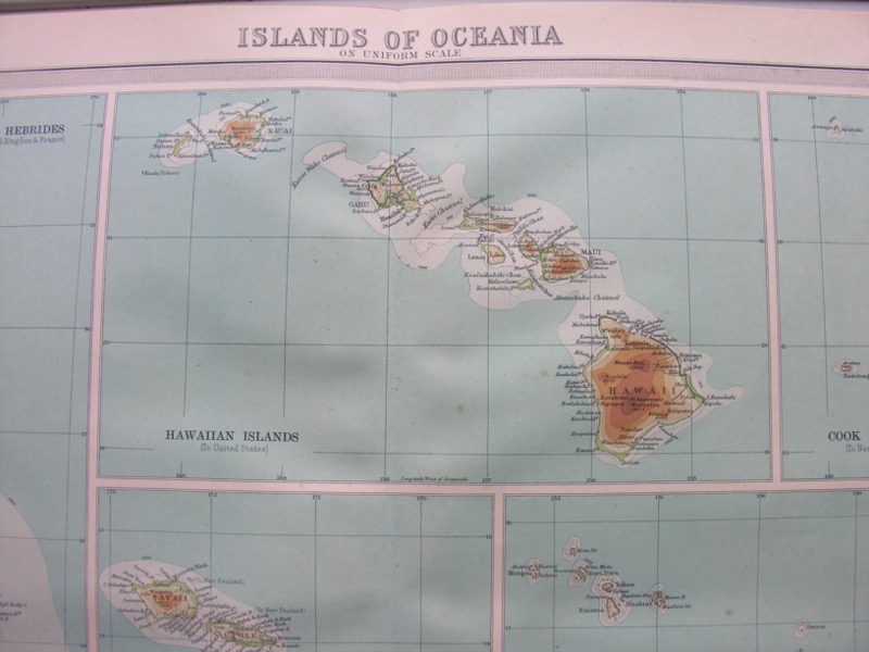
This is a map from The Times Survey Atlas of the World, prepared by J. G. Bartholomew, printed in 1920. Apart from being an interesting 100-year-old historical map, it is also a lovely piece of art! I hope it can find a new home, perhaps as wall decoration - it would look great framed!
The map features:
- New Hebrides
- Hawaiian Islands
- Cook Islands
- Samoan Islands
- Society Islands
- Marquesas Islands
- New Caledonia & Loyalty Islands
- Fiji Islands
- Tonga Group
This is a large-format map, measuring approximately 23 inches by 18 inches - Landscape (58cm x 46cm). The map has a central fold and will be sent rolled in a poster tube.
Condition: Good Vintage Condition. The map has a central fold. There is some minor foxing / brown marking. Apart from this the map is in very good vintage condition, being over 100 years old. The map pictured is the one you will receive.
I accept returns - and any questions, just get in touch and I’ll do my best to help!
FBS Office