Colorado 14ers South [san Juan, Elk, And Sangre De Cristo Mountains] Adventure Map
by National Geographic Maps
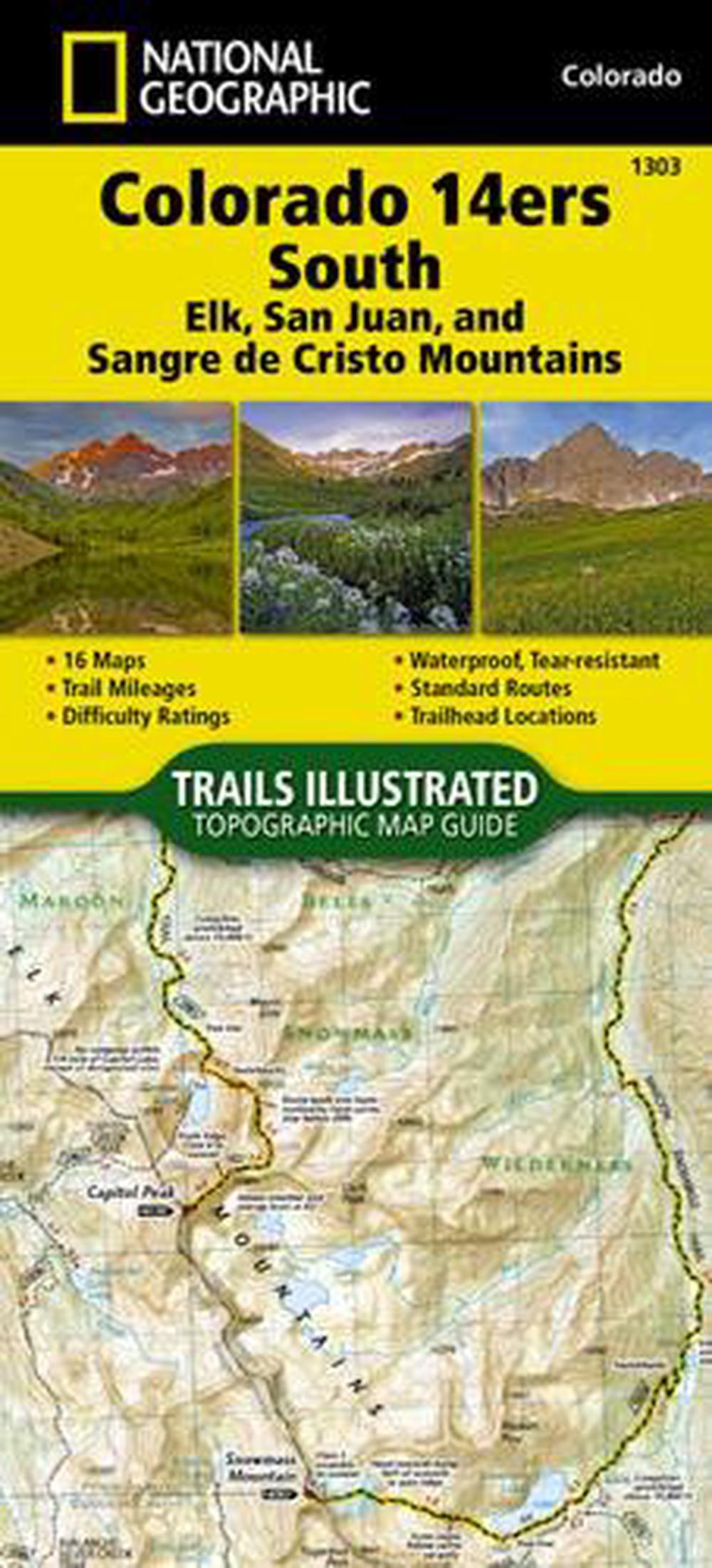
Colorado has the highest mean elevation of any state in the United States. It's home to 58 mountain peaks higher than 14,000 feet - more than any other state in the U.S - making it a mountain sports mecca. 'Bagging' these fourteeners is a goal for many Coloradans and visitors to the state - and for some, it's an obsession. The Colorado 14ers South Topographic Map Guide provides the most accurate and convenient set of maps for the fourteeners of the Elk, San Juan, and Sangre de Cristo ranges of southern Colorado. These peaks are generally more difficult than their northern counterparts in the Front, Mosquito, Tenmile, and Sawatch Ranges. Even the easier exceptions, such as Humboldt, Sunshine, Redcloud, and Handies Peaks have their unforgiving slopes. Crestone Peak and Little Bear in the Sangre de Cristos, along with Capitol Peak and the Maroon Bells in the Elk Range, are often in the running when talk turns to the 'hardest' fourteener. Given such subjective elements as physical cond
Folded
English
Brand New
Author Biography
Founded in 1915 as the Cartographic Group, the first division of National Geographic, National Geographic Maps has been responsible for illustrating the world around us through the art and science of mapmaking.Today, National Geographic Maps continues this mission by creating the world's best wall maps, recreation maps, atlases, and globes which inspire people to care about and explore their world.
Details
