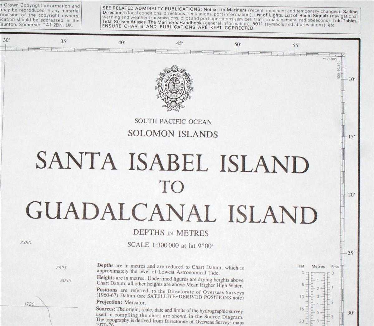
Nautical Chart No. 3996 South Pacific Ocean - Solomon Islands, Santa Isabel Island to Guadalcanal Island
Revised Edition Softcover Admiralty, 2003 Very Good Condition

For more pictures of this item scroll down to bottom ....
Book Publishing Details
| Author: | Admiralty |
| Full title: | Nautical Chart No. 3996 South Pacific Ocean - Solomon Islands, Santa Isabel Island to Guadalcanal Island |
| Publisher: | Admiralty, 2003 |
| Edition: | Revised Edition |
| Binding: | Softcover |
| ISBN: | No ISBN |
| Size: | 107x72cm |
| Book ID: | 45517084004 |
Comments & Item Features
Revised Edition. Category: Maps, naval, naval history, maritime, ships, boats. Language: English. ISBN: No ISBN.
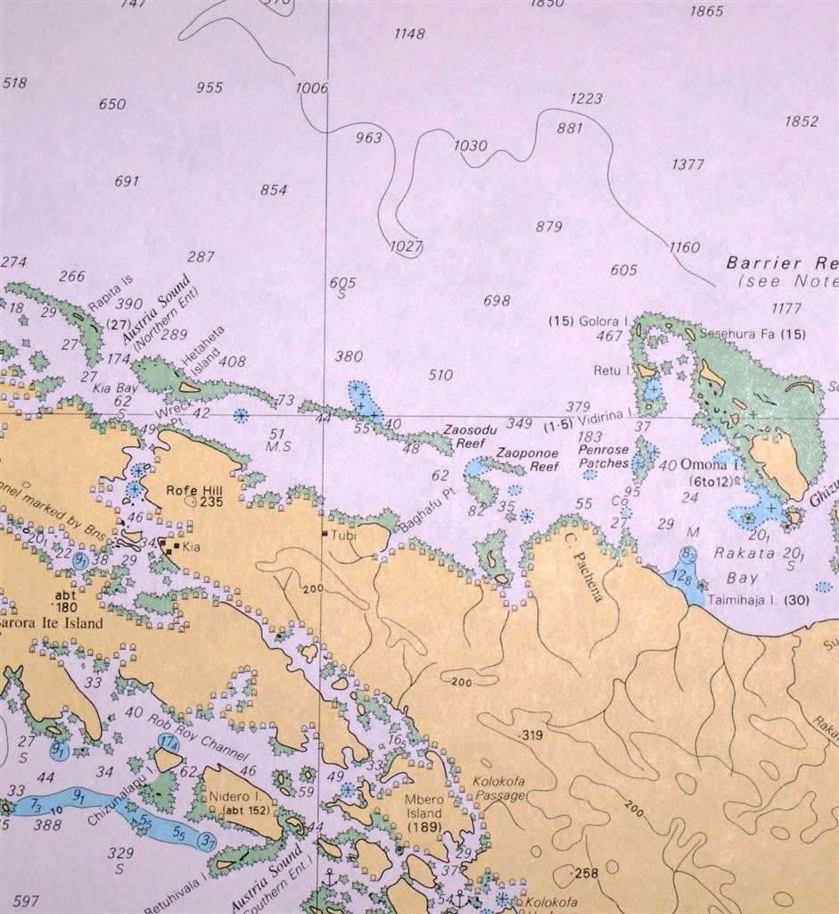
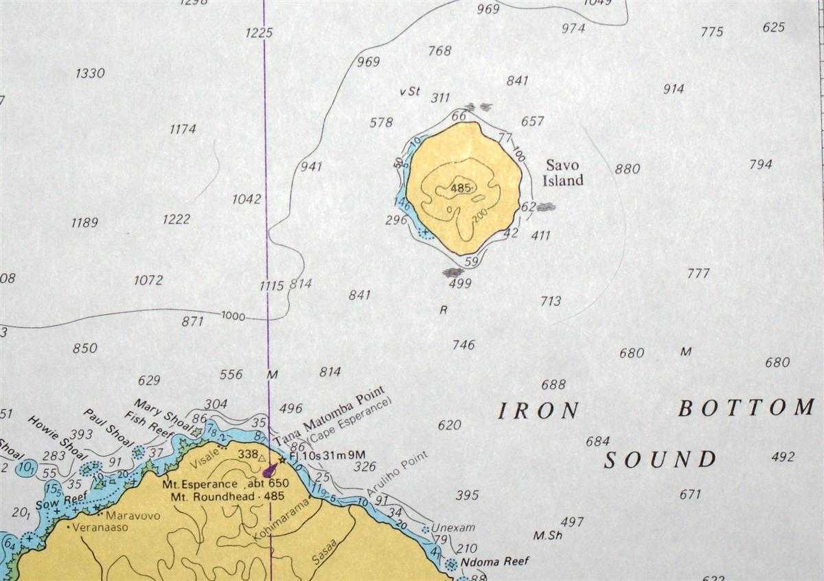
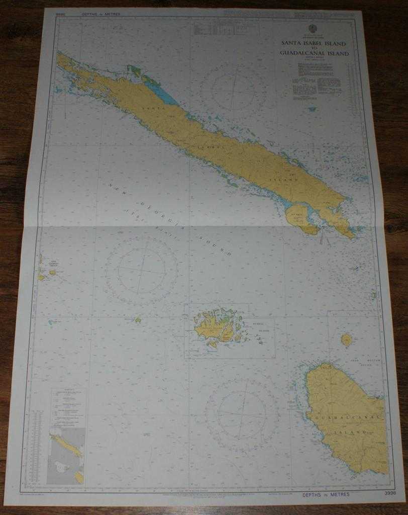
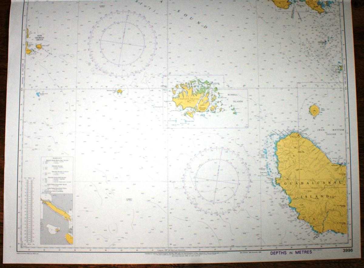
Crisp and clean colour chart with single horizontal fold. Nautical Chart No. 3996 South Pacific Ocean - Solomon Islands, Santa Isabel Island to Guadalcanal Island. Copyright 1998 with small corrections to 2003. Scale 1:300,000. Area Covered: Guadalcanal Island (part), Savo Island, Russell Islands, Pavuvu Island, Mbanika Island, Mborokua Island, New Georgia Group (part), San Jorge Island, Santa Isabel Island, Barora Fa Island, Barora Ite Island. Iron Bottom Sound, New Georgia Sound (The Slot), Barrier Reef, Thousand Ships Bay, Ghizunabeana Passage.
Crisp and clean colour chart with single horizontal fold. Nautical Chart No. 3996 South Pacific Ocean - Solomon Islands, Santa Isabel Island to Guadalcanal Island. Copyright 1998 with small corrections to 2003. Scale 1:300,000. Area Covered: Guadalcanal Island (part), Savo Island, Russell Islands, Pavuvu Island, Mbanika Island, Mborokua Island, New Georgia Group (part), San Jorge Island, Santa Isabel Island, Barora Fa Island, Barora Ite Island. Iron Bottom Sound, New Georgia Sound (The Slot), Barrier Reef, Thousand Ships Bay, Ghizunabeana Passage.
Book Condition Report
Book Condition: Very Good Condition. Dust Jacket: No Dust Jacket. Single sheet map/chart which is suitable for framing and will be shipped rolled and in a cardboard tube.
Size of Item & Shipped Weight
Size: 107x72cm. Shipped Weight: under 1 kg.
Multiple Purchases
If you are considering ordering multiple items from us, please contact us so that we can offer you a discount on the total price including delivery.
Images
If you would like to see an additional/ different image of this item, please contact us.
More books and maps and sheet music.....
We have many more items in our ebay shop, please view by clicking on the ebay shop icon above.
Keywords and Associated Terms
BZDB4 Maps; Australasia and the Pacific; naval, naval history, maritime, ships, boats. Admiralty Nautical Chart No. 3996 South Pacific Ocean - Solomon Islands, Santa Isabel Island to Guadalcanal Island