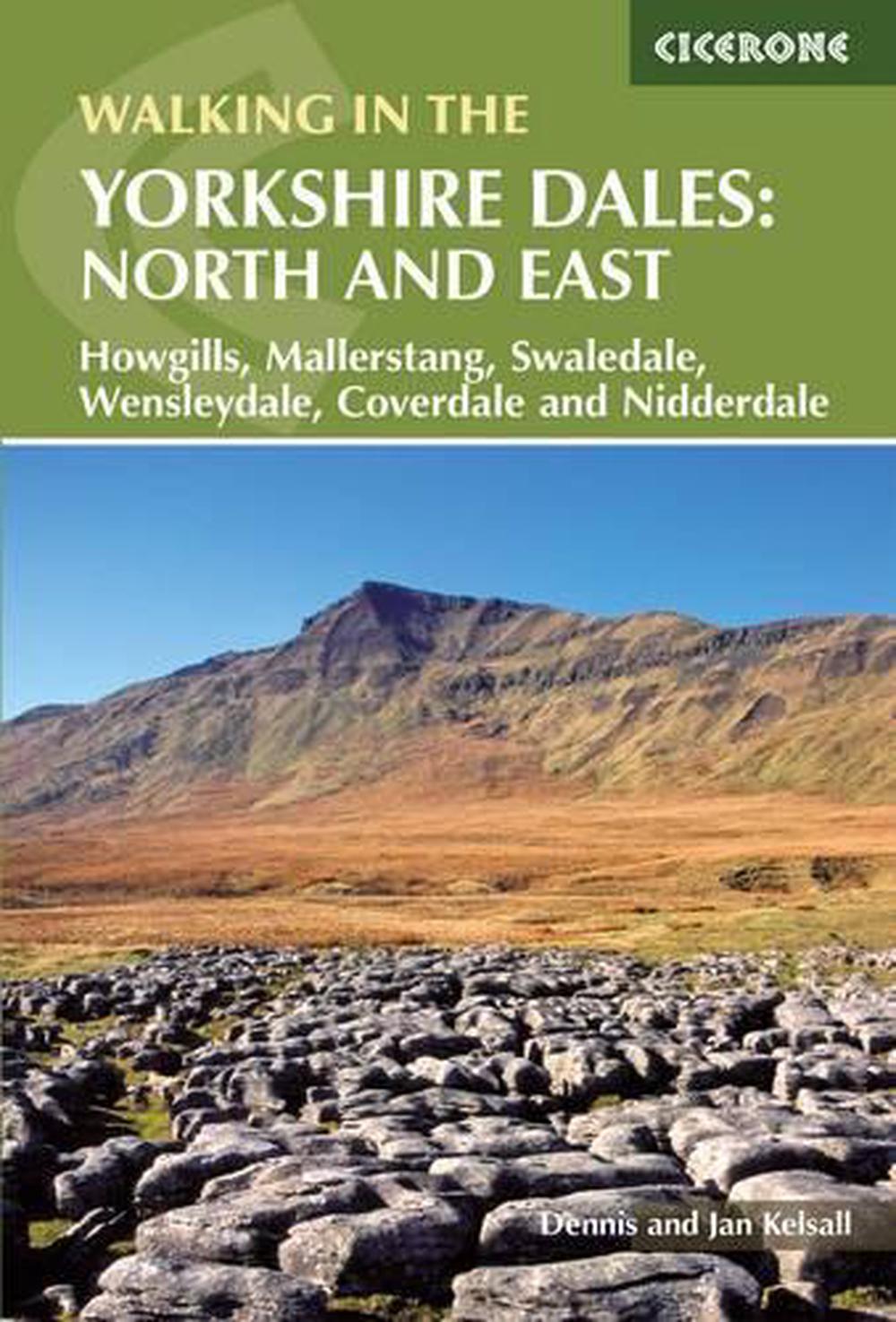
Walking in the Yorkshire Dales: North and East
by Dennis Kelsall
This guidebook contains 43 circular day walks in the north and east Yorkshire Dales. It explores the dales, hills and moors between Kirkby Stephen and Pateley Bridge. Walking ranges from gentle 3 mile strolls to more strenuous day-long rambles across the Howgills, Wensleydale, Swaledale, Nidderdale, Mallerstang and Coverdale.
Paperback
English
Brand New
Publisher Description
Walking in the Yorkshire Dales describes 43 day walks ranging from 3-mile strolls to full-day adventures in the northern and eastern Yorkshire Dales. Step by step route directions include lots of information about the area, and each walk is illustrated with clear OS mapping and vibrant photographs. Few areas in England are as appealing as the Yorkshire Dales and this volume provides you with a comprehensive walking guide to the region. From Pateley Bridge and Aysgarth in the East to Kirkby Stephen and Richmond in the north, including the Howgills, Ninnerdale, Swaledale and Mallerstang, the north and eastern regions of the Yorkshire Dales are full of wild, rugged fell tops carved by limestone crags, deep scooped-out dales with lonely farms far from villages, the ruins of medieval castles as well as the warm bustle of Dales villages and good pubs. The Howgills north of Sedburgh have a different look, with their wide domes, steep sides and long miles of grassy ridges.
Notes
Features 42 circular walks, ranging from 3-mile strolls to full day adventures, covering the fell and dale landscapes of Howgills, Mallerstang, Swaledale, Wensleydale, Coverdale and Nidderdale.
Author Biography
Dennis and Jan Kelsall have long held a passion for countryside and hill walking. Since their first Cicerone title in 1995, they have written over 35 guides and regularly contribute to various outdoor magazines. Over the years they have developed a wider interest in the environment, its geology and wildlife, as well as an enthusiasm for delving into local history, which so often provides clues to interpreting the landscape.
Table of Contents
Map keyOverview mapIntroductionThe Dales LandscapeGeological History?Human Settlement ?Industry and Enterprise ?Farming in the Dales ?Plants and Wildlife ?The Northern and Eastern Dales ?The Yorkshire Dales National Park ?Navigation and Maps?Careful Planning ?Clothing and Footwear ?Food and Drink ?Taking your Car ?Leaving your Car Behind ?Using this Guide1 The Howgill Fells1 Sedbergh and the River Rawthey ?2 The Rivers Rawthey and Lune from Sedbergh ?3 Winder, Calders and the Calf?4 Carlin Gill and Fell Head from Fairmile Gate ?5 The River Rawthey from the Cross Keys Inn ?6 Cautley Crag and the Calf?7 Around Wandale Hill ?8 Baugh Fell from Rawthey Bridge?9 Grisedale ??2 Mallerstang ?10 High Seat ?11 Pendragon Castle and Little Fell ?12 Wild Boar Fell and Swarth Fell ??3 Swaledale and Arkengarthdale ?13 Apedale and Harkerside Moor ?14 Grinton and Maiden Castle ?15 Fremington Edge ?16 Slei Gill ?17 Whaw to Dale Head ?18 Old Gang and Surrender ?19 Beside the River Swale from Gunnerside?20 Gunnerside Gill ?21 Ivelet Bridge from Muker ?22 Great Shunner Fell and Lovely Seat from Thwaite ?23 Muker, Thwaite and Kisdon Force from Keld ?24 Whitsundale and the Head of the River Swale ??4 Wensleydale and Coverdale ?25 A Walk in Coverdale ?26 West Witton and the River Ure to Redmire Force ?27 Aysgarth to West Burton ?28 Aysgarth Falls?29 Ivy Scar from Aysgarth ?30 Whitfield Gill Force and Mill Gill Falls ?31 By the River Ure from Bainbridge ?32 Bainbridge to Semer Water ?33 Aysgill Force ?34 Dodd Fell Hill and Drumaldrace ?35 Cotterdale ?36 Great Shunner Fell from Hardraw ?37 The High Way ??5 Nidderdale ?38 Brimham Rocks ?39 Ashfold Side?40 Middlesmoor and How Stean Gorge ?41 Nidderdale ?42 Little Whernside??Appendix 1 Route summaries and suggestions for longer routes ?Appendix 2 Where to find out more ?
Long Description
A guidebook to 43 circular day walks covering the northern and eastern Yorkshire Dales. The walks range between 3 and 11.5 miles in length, and there are suggestions for devising longer days by combing routes. Step by step route directions include lots of information about the area, and each walk is illustrated with clear OS mapping and vibrant photographs. From Pateley Bridge and Aysgarth in the East to Kirkby Stephen and Richmond in the north, each valley has a character and history of its own and this guide covers the varied fell and dale landscapes of the Howgills, Mallerstang, Swaledale, Wensleydale, Coverdale and Nidderdale. The north and eastern regions of the Yorkshire Dales are full of wild, rugged fell tops carved by limestone crags, deep scooped-out dales with lonely farms far from villages, the ruins of medieval castles as well as the warm bustle of Dales villages and good pubs. The Howgills north of Sedbergh have a different look, with their wide domes, steep sides and long miles of grassy ridges.
Details
