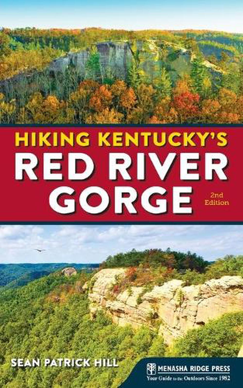
Hiking Kentucky's Red River Gorge
by Sean Patrick Hill
This definitive, full-color guide showcases 28 of the best hikes in the Red River Gorge, with ratings for key elements like scenery and difficulty.
Paperback
English
Brand New
Publisher Description
Popular, proven format: the previous edition sold more than 10,000 copies, strong numbers for a regional titleMarket: More than 40 million people went hiking in the U.S. in 2016, with reasons ranging from enjoyment of the outdoors to health and exercise25 featured routes that guide readers along carefully maintained trails exclusively for hikersNow in full-color with new photosThree new hikes, as well as updates to original hikes and a new introductionTrail details and maps to help readers find their wayRatings for key elements to help readers quickly decide which hikes to chooseRecommendations for combining routes into longer adventures
Author Biography
Sean Patrick Hill lives in Louisville, Kentucky, where he spends time with his daughter, practices photography, and writes. As a hiker and backpacker, he has walked trails across the country, from the Pacific Crest Trail to the Appalachian Trail, including rambles in the Grand Canyon, the Delaware Water Gap, Yosemite National Park, the Rocky Mountains, the Olympic Peninsula, and the Oregon Cascades. In Kentucky, he tends to stick to the Bernheim Arboretum and Research Forest (where he volunteers as a trail ranger) and the Jefferson Memorial Forest, though he will on occasion ramble as far as Pine Mountain,the Cumberland Gap, and, of course, the Red River Gorge.
Table of Contents
DEDICATIONOVERVIEW MAPMAP LEGENDACKNOWLEDGMENTSPREFACERECOMMENDED HIKESINTRODUCTIONRed River Gorge Geological Area
- Angel Windows
- Chimney Top Rock, Princess Arch, and Half Moon Arch
- Courthouse Rock and Auxier Ridge
- D. Boon Hut
- Double Arch
- Grays Arch
- Koomer Ridge and Hidden Arch
- Pinch-Em-Tight Ridge
- Rock Bridge Arch
- Rough Trail
- Sheltowee Trace
- Silvermine Arch and Cliff Trail
- Sky Bridge
- Whistling Arch
- Whittleton Arch
- Sheltowee Trace–Bison Way Loop
- Sheltowee Trace–Osborne Bend Loop
- Swift Camp Creek Trail
- Swift Camp Creek–Wildcat Loop
- Tower Rock
- Turtle Back Arch
- Balanced Rock and Rock Garden Trail
- Henson's Cave Arch
- Hood's Branch–Sand Gap Loop
- The Original Trail
- Pilot Knob State Nature Preserve
- Powdermill Branch Trail
- White's Branch Arch
- Appendix A: Outdoor Retailers
- Appendix B: Hiking Clubs
- Appendix C: State and Federal Agencies
Excerpt from Book
Pilot Knob State Nature Preserve Scenery: 3 Trail Condition: 3 Children: 3 Difficulty: 3 Solitude: 4 GPS Trailhead Coordinates: Pilot Knob Trailhead N 37 54.723' W 83 56.697' Distance & Configuration: 4.5-mile loop Highlights: Wooded terrain and a view over the Cumberland Plateau Hiking Time: 3 hours Elevation: 800' at the trailhead, ascending to 1,420' Access: Open 24/7; vehicle pass required for overnight parking Maps: USGS Levee ; trail map available online at eec.ky.gov/Nature-Preserves/Brochures/PilotKnobBrochure_color.pdf Facilities: None Wheelchair Access: None Comments: Dangerous cliffs are present and should be avoided, especially by children. Contacts: Kentucky State Nature Preserves Commission: 502-782-7839, eec.ky.gov/Nature-Preserves/Locations/Pages/Pilot-Knob.aspx Overview Just off the Bert T. Combs Mountain Parkway, west of Red River Gorge, lies the 742-acre Pilot Knob State Nature Preserve. Pieced together beginning with an original purchase made with The Nature Conservancy, the preserve covers creek bottoms, wooded ridges, and the highlight, a 730-foot-high sandstone outcrop that is said to have been visited by Daniel Boone and overlooks both the Bluegrass region and the beginning of the Cumberland Plateau. Though you can take a fairly steep incline straight to the top, it's worth it to tour the entire area, rich in wildflowers and native Kentucky hardwoods. Route Details From the parking lot, set out east on the trail, crossing Brush Creek. In 0.2 mile you'll reach the first junction; to the right is the 0.4-mile loop of the Millstone Quarry Trail, which is worth an exploration. To the left is the Oscar Geralds, Jr. Trail, which charges upward in just under a mile to the peak of Pilot Knob; to do so, simply continue upward, staying left at both junctions with the Sage Point Trail. While this is a decent hike, though short, it's more challenging--and ultimately more fulfilling--to do the entire loop of the area. For the full loop, go right at the first junction with the Sage Point Trail. From here, you'll amble along ridgelines thick with oaks and hickories, dropping to another creek and wildflower-filled bottomland (sometimes crossing power line roads) and climbing again toward the prominence of Pilot Knob. After completing the 2-mile Sage Point Trail, watch for a trail to the right and follow it 0.4 mile to some stunning rock formations and, finally, the cliff-edge view that, in spring, flowers with mountain azalea. To return, follow this trail back 0.4 mile, then turn right on the Oscar Geralds, Jr. Trail and follow it for 0.3 mile. As you descend, look up and to the right to see the cliff you were just on. Keep right at the junction with the Sage Point Trail, and again keep right after another 0.3 mile at the junction with the Millstone Quarry Trail. Return the last 0.25 mile to your car. Directions From Exit 16 off Bert T. Combs Mountain Parkway, go right (north) on KY 15 for 2.9 miles. Turn right on Brush Creek Road and follow it 1.6 miles to the parking lot at the end of the road. The trail begins at the edge of the lot.
Description for Sales People
Popular, proven format: the previous edition sold more than 10,000 copies, strong numbers for a regional title Market: More than 40 million people went hiking in the U.S. in 2016, with reasons ranging from enjoyment of the outdoors to health and exercise 28 featured routes that guide readers along carefully maintained trails exclusively for hikers Now in full-color with new photos Three new hikes, as well as updates to original hikes and a new introduction Trail details and maps to help readers find their way Ratings for key elements to help readers quickly decide which hikes to choose Recommendations for combining routes into longer adventures
Details
