Beschreibung
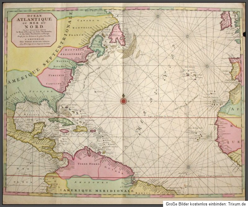
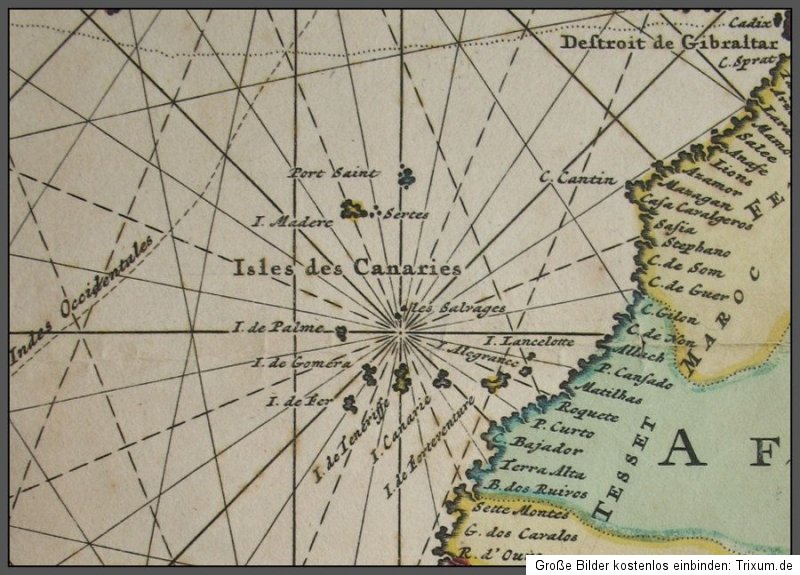
Amerika, USA, Karibik, Atlantik, Mortier - Flächen-kolorierte Kupferstich-Karte von Pierre Mortier. Ocean Atlantique ou Mer du Nord.... Amsterdam, Mortier, um 1700. Circa 51,5 x 62 cm. 1 Doppelblatt verso weiss, mit Faltspuren (war dreimal gefaltet).
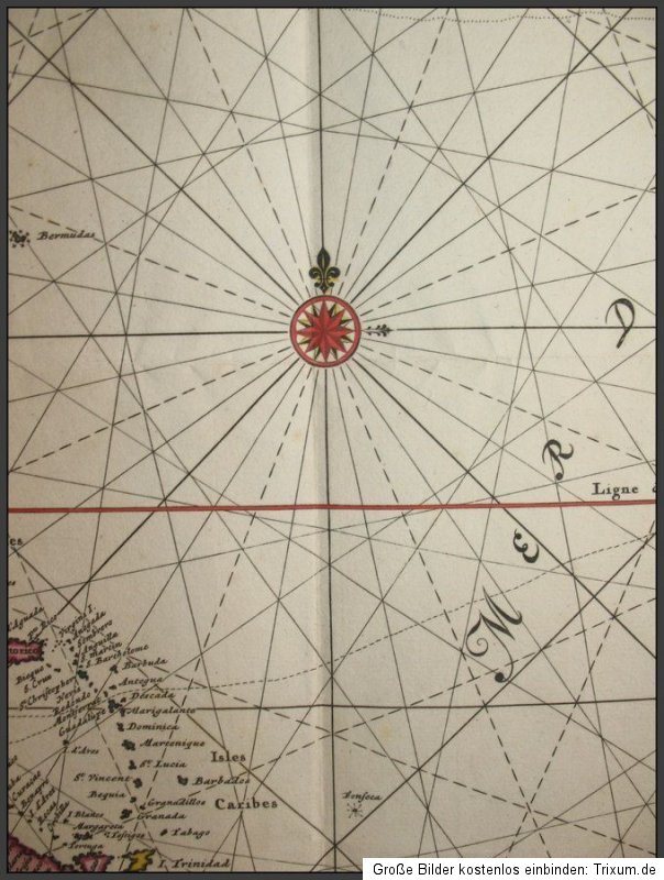
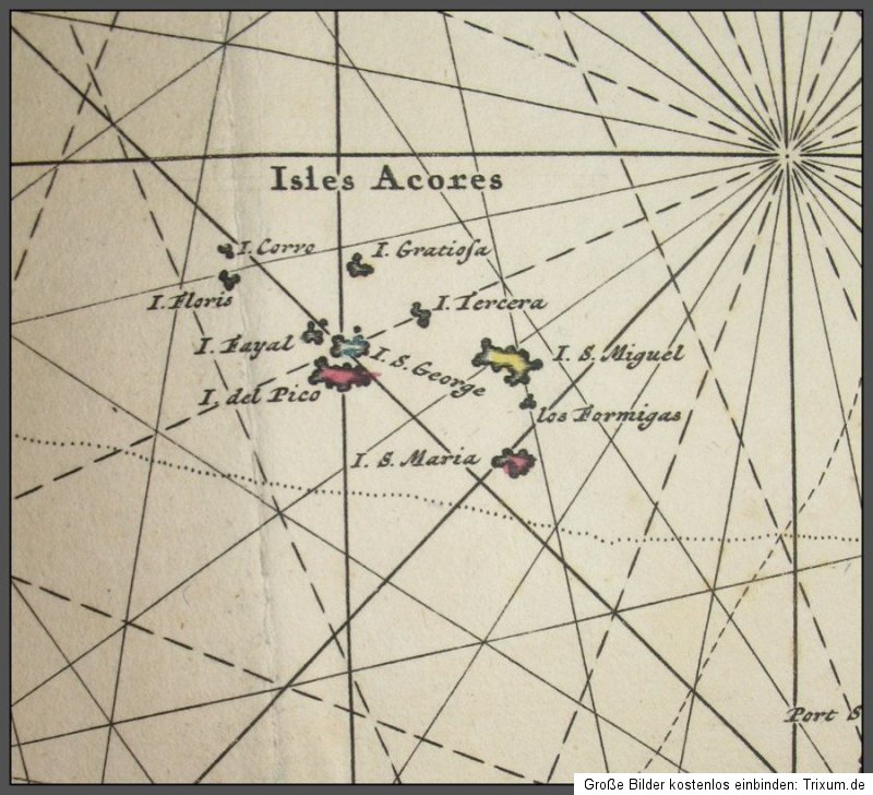
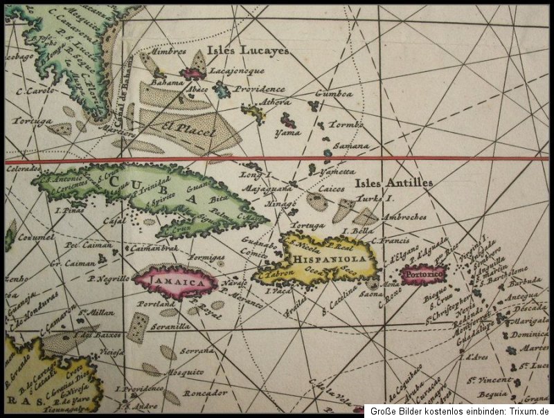
- Besonders schön kolorierte Karte aus dem "Neptune Francois" mit dem Atlantik, rechts die westlichen Grenzen von Europa und Adrika, links Nordamerika, die Karibik und der nördliche Teil von Südamerika. Im rechten Rand kleine Einrisse, ein fingernagelgrosser Ausriss mit knapper Berührung des Bildrandes, Faltspuren, schöner Gesamteindruck in leuchtendem Flächenkolorit, was ungewöhnlich ist, da die meisten Exemplar nur Grenzkolorit haben.
- A particularly beautiful map of the Atlantic Ocean, covering the coastal areas of North America, Central America, the northern tip of South America and spanning across to the western coasts of Africa and Europe, with coastal detail, particularly of the Gulf of Mexico and the Caribbean. The major sailing routes between Europe and the West Indies are also noted.
- The map has been folded three times, there are unobtrusive folds, small marginal tears, one little tear with minimal loss of the white margin to the upper right side just touching the edge of the map. Nice overall condition, bright colours.