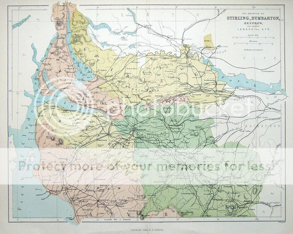
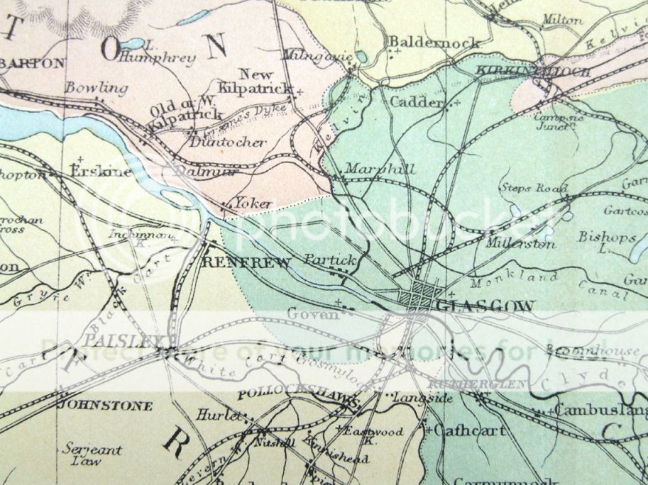
| The Counties of STIRLING, DUMBARTON, RENFREW and parts of LANARK and AYR Engraved by W.Hughes and Published by Virtue & Co, London circa 1860 An attractive coloured antique map of several counties of Scotland, covering the area around Stirling, Lanark, Dumbarton, Renfrew, Kilmarnock, Paisley etc. The detail includes roads and railways. Please scroll right down for a close up image. Fine condition other than some light toning around the original centre fold. Approx. 12" x 9" (300mm x 240mm) printed area only with good margins beyond.
GENUINE ANTIQUE MAP GUARANTEED OVER 100 YEARS OLD FROM LINDISFARNE PRINTS We do not deal in reproductions, facsimiles or copies of any kind.
............................................................
NFD911 |