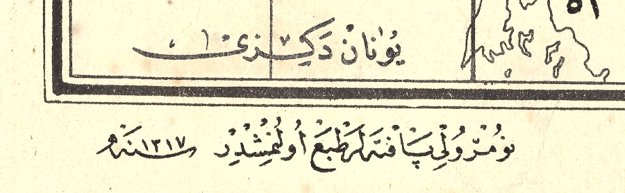
Dated: ١٣١٧/1317, 1899
Türkiye Turkey Turkiye
Printed on wove paper.
Paper Size:
~7½ x 16¼ in (19 x 40.6 cm)
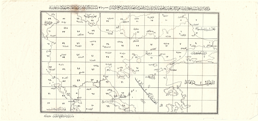
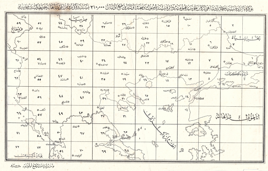
Ottoman period military school map of Thrace, printed by Harbiye (The Ottoman Imperial Military School) under the authority of the Padishah or Sultan
The map has a numbered grid showing districts in Thrace and Aegean Isles; the shores from the Bosporus, thru the Dardanelles, into the Aegean Sea. Labeled in Ottoman language using the Arabic script.
Please see the images below.
BUY NOW
Click Link Below To See Our Other Maps Listings:
Good clear legible very good, clean condition, some spotting, light edge wear & toning. Otherwise well preserved, with fold line
Please see images, the condition is clearly shown.
International buyers are responsible for knowing their own customs & importation rules with respect to the item(s) being purchased and pay for the customs fees imposed.
All invoices will show the full purchase price of the item(s) being shipped.
Click Link Below To See Our Other Maps Listings:
All invoices will show the full purchase price of the item(s) being shipped.
Click Link Below To See Our Other Maps Listings: