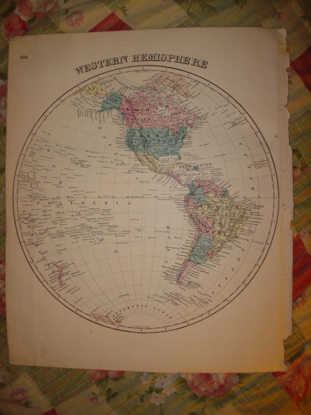
Vintage antique 1875 handcolored map. The map is titled in fancy antique lettering, Western Hemisphere. Beautiful and attractive period map of the Western Hemisphere. Detailed period map of the United States , Canada , Mexico, Central America , South America , Hawaii as Sandwich Islands , many named islands in Polynesia , the West Indioes and so forth. This is an antique map and not a reprint or reproduction. The handcoloring on the map is period to the map, this is before color printing. The map is from the very rare 1875 Higgins Belden & Co. Atlas of St Joseph County Indiana . The map is a fascinating and historic period look at this area at this time. The photo wont show the full beauty of the map. The map is in nice shape and would frame and display quite beautifully. The size of the map is 14.5" by 17.5" . Winning bidder pays $3.75 shipping domestic, more foreign.
Payment
I accept the following forms of payment:
- PayPal
Preferred Checkout
Shipping & Handling
$3.75 USPS First-Class Mail®
| FREE scheduling, supersized images and templates. Get Vendio Sales Manager. |
FREE scheduling, supersized images
and templates. Get Vendio Sales Manager.
