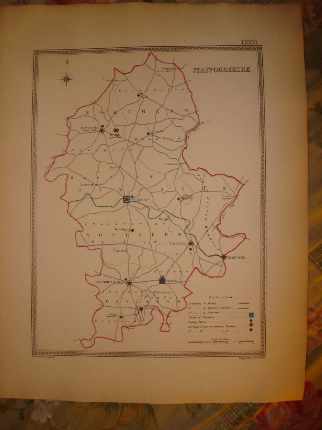
THE PHOTO CAME OUT DARK ON THIS, THE MAP IS NOT DARK AT ALL, BUT IN BEAUTIFUL CONDITON, THE MAP WOULD FRAME AND DISPLAY NICELY! Fine antique handcolored 1840 map, titled Staffordshire . Fascianting Explanation chart at bottom, with handcolored graphs corresponding to the map itself, Boundary of County , Electorial Division , Boundary of Hundreds and so forth. The map is very detailed. Fascianting, detailed and attractive period map. The map is very finely produced, printed on thick paper, with no printing on verso , and with fine period handcoloring. This is before color printing was invented. The map is in excellent conditon. Fascianting period details, nice outside ornate border . The size of the map is 12.5" by 10". Rare. Winning bidder pays $3.25 shipping domestic, $4.00 foreign airmail.
Payment
I accept the following forms of payment:
- PayPal
Preferred Checkout
Shipping & Handling
$3.25 USPS First-Class Mail®
| FREE scheduling, supersized images and templates. Get Vendio Sales Manager. |
FREE scheduling, supersized images
and templates. Get Vendio Sales Manager.
