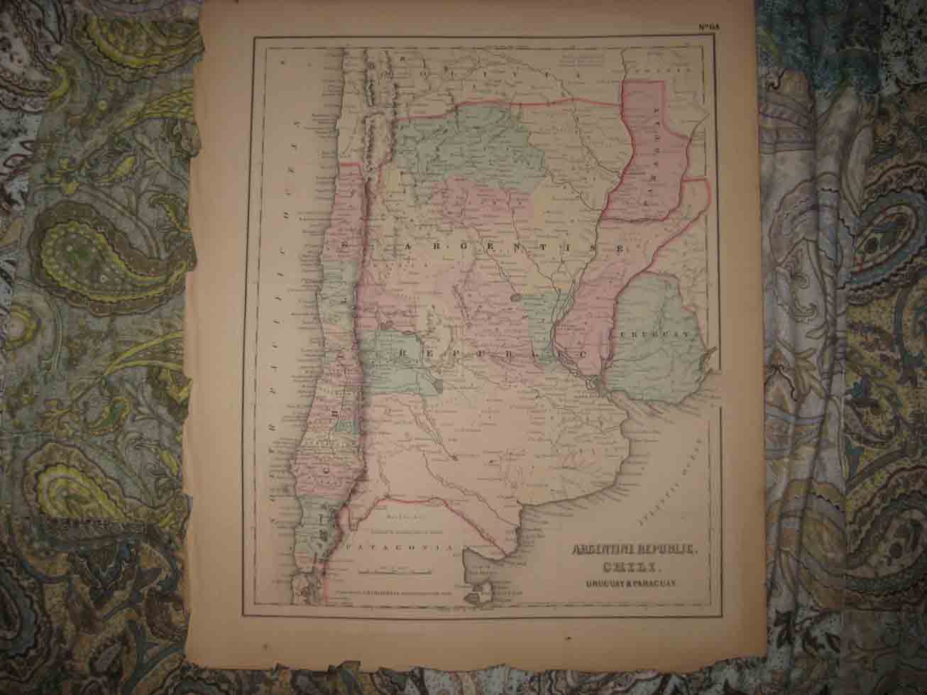
Gorgeous, very fine, antique 1855 handcolored dated map, titled Argentine Republic, Chili, Uruguay & Paraguay. Printed at bottom is Entered according to Act of Congress in the Year 1855 by J.H. Colton & Co. in the Clerk's Office of the District Court of the United States in the Southern District of New York. This dates the map nicely. In excellent condition.These are the template maps that the famous Johnson maps came from later, these are before the Johnson maps, but are very similar. Johnson used these maps in his atlases, Colton was the originator of these maps. Typical Colton quality, printed on fine paper, with fine outside ornate border, and with gorgeous delicate period handcoloring, this is before color printing. Very finely detailed. The size of the map is 14" by 17". Rare. Winning bidder pays $4.00 shipping domestic, more foreign.
Payment
I accept the following forms of payment:
- PayPal
Shipping & Handling
US Shipping |
International Shipping |
| FREE scheduling, supersized images and templates. Get Vendio Sales Manager. |
FREE scheduling, supersized images
and templates. Get Vendio Sales Manager.