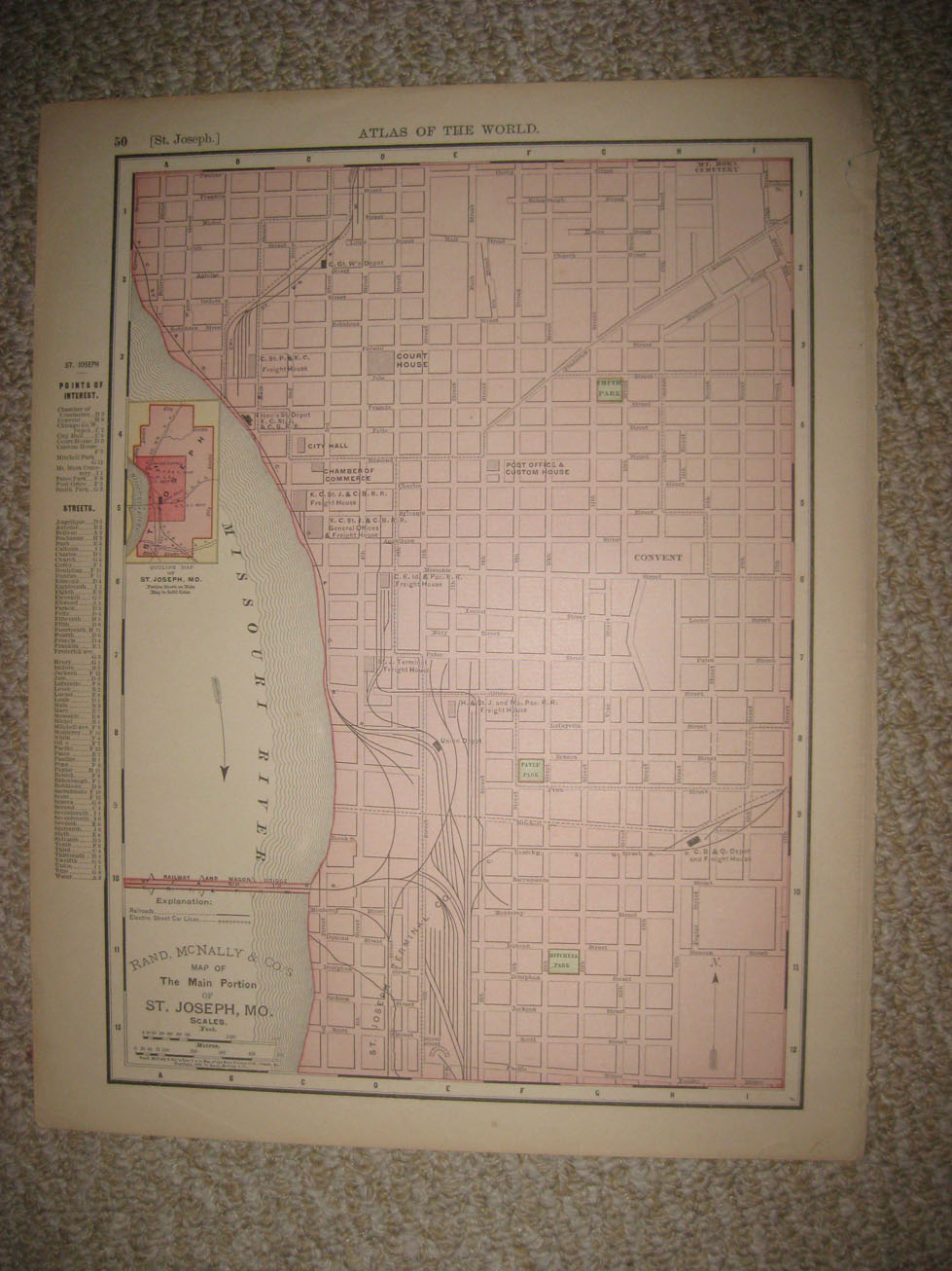
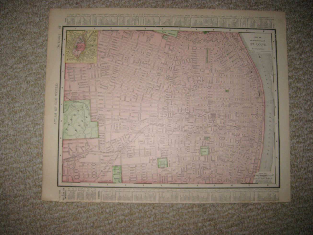
Superb, fine antique 2 sided color lithographed 1895 map, map is dated 1895 on each side, this dates the map nicely, one side is Map of the Main Portion of St. Louis, with Explanation chart, Railroads, Street Car Lines, reverse is Map of the Main Portio of St. Joseph, Mo. also with Railroads, and Electric Street Car Lines. The map is very detailed, and in excellent condition. The size of the map is 11" by 14". Rare. Winning bidder pays $3.25 shipping domestic, more foreign.
Payment
I accept the following forms of payment:
- PayPal
Shipping & Handling
US Shipping |
International Shipping |
| FREE scheduling, supersized images and templates. Get Vendio Sales Manager. |
FREE scheduling, supersized images
and templates. Get Vendio Sales Manager.