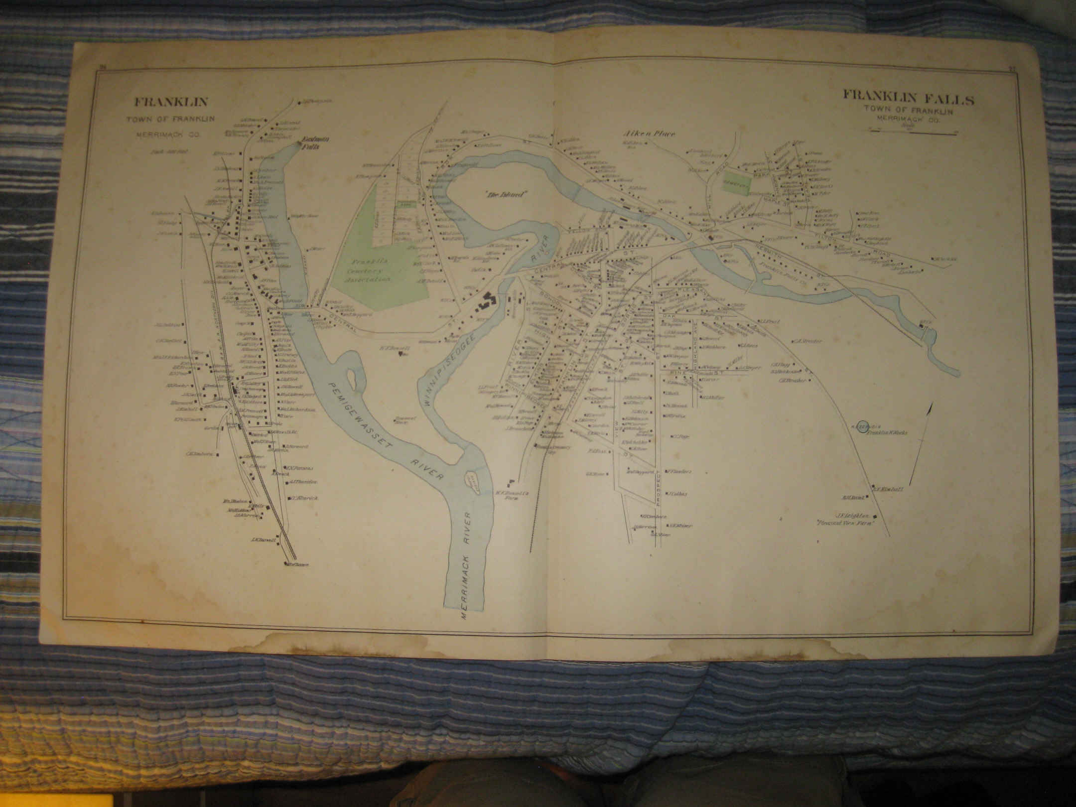
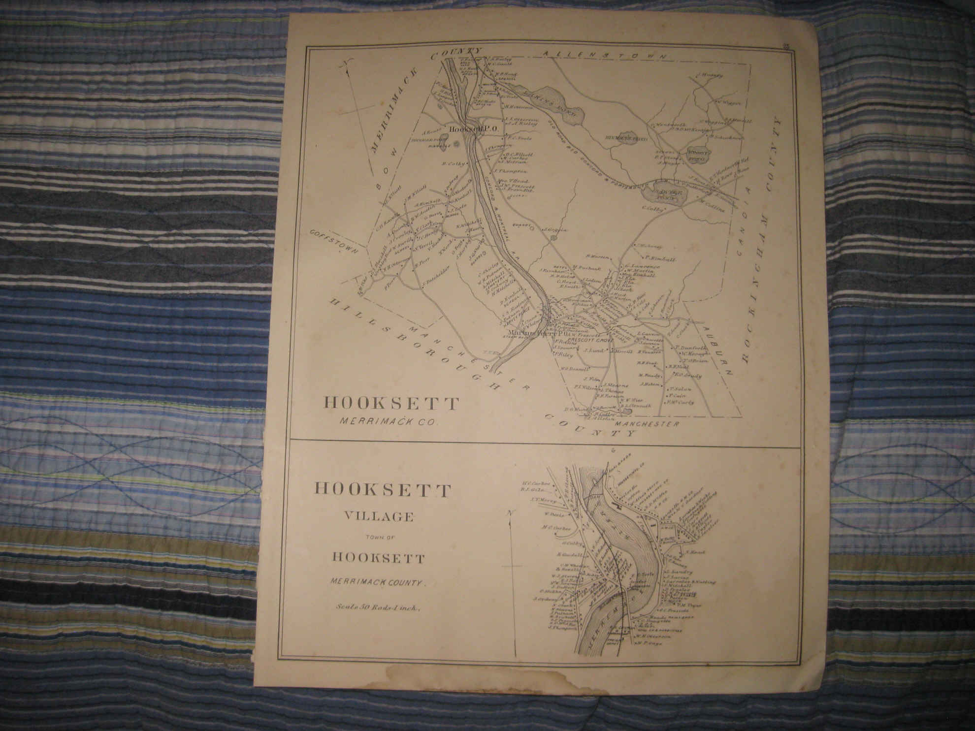
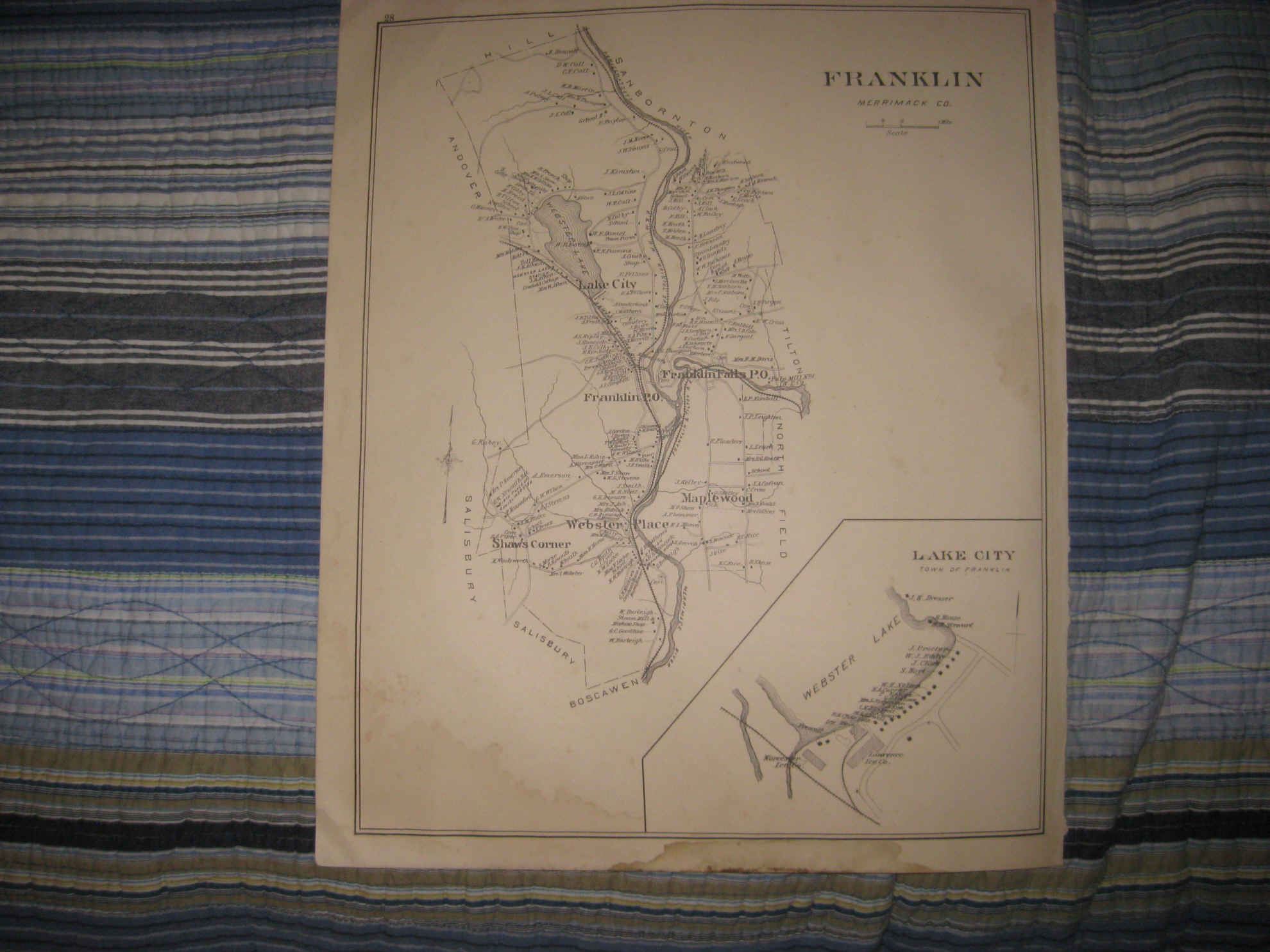
Beautiful, vintage antique handcolored 1892 map. The map is 4 pages, and any side would frame and display quite nicely. The first page is a fine map titled Hooksett, and Hooksett Village, the next 2 pages is a large and gorgeous antique handcolored map titled Franklin and Franklin Falls, the last page is Franklin and Lake City. There is a light stain at bottom edge, not that bad. Beautiful map. The maps are very detailed, they show the home and land owners, business and industry, roads, railroads and much more. This is an antique 1892 map and not a reprint or reproduction. This is from the rare 1892 Hurd Atlas of New Hampshire. The beautiful handcoloring on the map is period, this is before color printing was widely used, esp. on a large scale like this. The map is overall in beautiful conditon and would frame and display nicely. The 2 pages Concord map size is 17.5" by 28", and the single page map size is 17.5" by 14". Rare. Winning bidder pays $3.75 shipping domestic, more foreign.
Payment
I accept the following forms of payment:
- PayPal
Shipping & Handling
US Shipping |
International Shipping |
| FREE scheduling, supersized images and templates. Get Vendio Sales Manager. |
FREE scheduling, supersized images
and templates. Get Vendio Sales Manager.