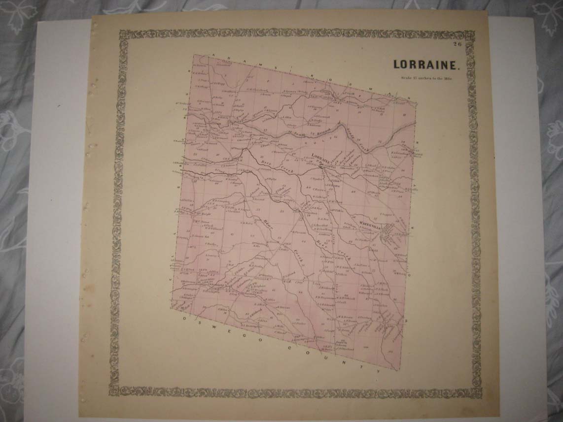
Very rare scarce antique 1864 map. Vintage antique 1864 handcolored map. The map is titled Lorraine, I see Lorraine PO, Waterville and more. The map shows the home and land owners, the business and industry, the few roads, the location of buildings, named business and industry, named railroads etc that existed at that time. The map is printed on thick paper, with no printing on reverse. The map is in nice conditon. Has many fascinating period detials. This is an antique map and not a reprint or reproduction. The handcoloring on the map is period to the map, this is before color printing. The map is from the very rare 1864 Beers Atlas of Jefferson County New York . The map is a fascinating and historic period look at this area at this time. The photo wont show the full beauty of the map, condition is excellent. The size of the map is 16" by 16". Winning bidder pays $3.75 shipping domestic, more foreign.
Payment
I accept the following forms of payment:
- PayPal
Shipping & Handling
US Shipping |
International Shipping |
| FREE scheduling, supersized images and templates. Get Vendio Sales Manager. |
FREE scheduling, supersized images
and templates. Get Vendio Sales Manager.