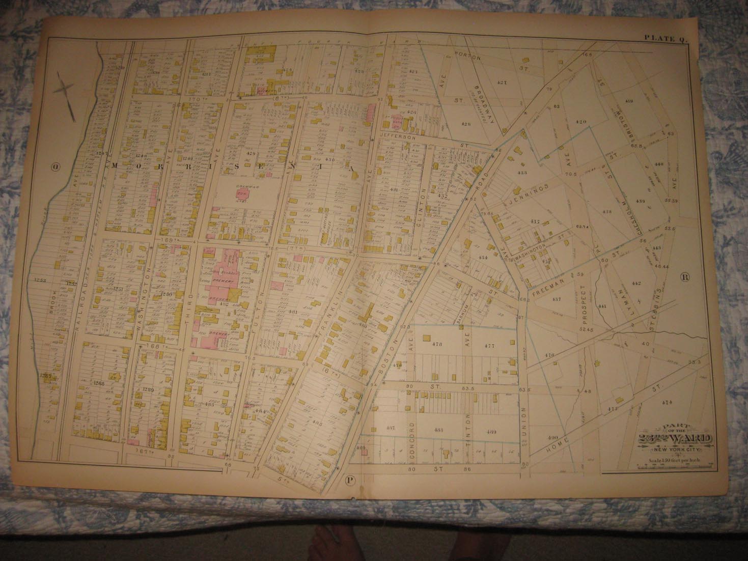
Vintage antique 1882 handcolored map. The map is titled Part of the 23rd Ward, New York City. I see many fascianting areas, I saee Morrisania and more. The map is very detailed, with the named streets, named railroads, named business and industry, size and locations of buildings, and much more of this period. This is an antique map and not a reprint or reproduction. The handcoloring on the map is period to the map, this is before color printing. The map is from the very rare 1882 Bromley Atlas of the 23rd Ward of New York. Bromley made some of the most attractive antique map of this variety ever made. The map is a fascinating and historic period look at this area at this time. The map shows the home and land owners, the business and industry, the few roads, railroads etc that existed at that time. The map is in nice shape and would frame and display quite beautifully. The size of the map is 20.5" by 29". Winning bidder pays $5.00 shipping domestic, more foreign.
Payment
I accept the following forms of payment:
- PayPal
Shipping & Handling
US Shipping |
International Shipping |
| FREE scheduling, supersized images and templates. Get Vendio Sales Manager. |
FREE scheduling, supersized images
and templates. Get Vendio Sales Manager.