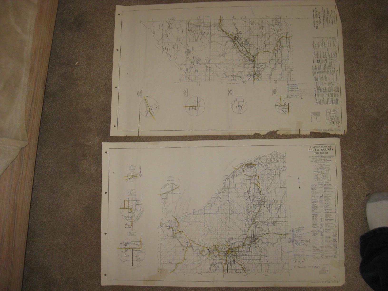
Huge, superb, very rare, I've never seen this map before, vintage antique 1963 maps, fine set of 2, a very interesting and historical map of this part of Colorado at this time, titled General Highway Map, Delta County Colorado , more text then date of 1951, below that has Revisions to 1962, the map was actually printed in 1962 or 1963. Colorado was very very different in 1963 than today. The map has a very detailed General Legend on it, corresponding to the map itself, with symbols and so forth, showing various kinds of roads, railroads, bridges, docks, various kinds of buildings, their makes and so forth, also the populations of towns and cities are shown, and much more is on the map, its very detailed. The map has wear and some writing on it, it was used by someone involved with highways and roads in Colorado, printed on fine paper, with no printing on reverse, but there may be writing on reverse, period older information related to highways, roads and so forth. The size of the map is a large 18" by 30". This would frame or display quite nicely. Winning bidder pays $5.00 shipping domestic, more foreign.
Payment
I accept the following forms of payment:
- PayPal
Shipping & Handling
US Shipping |
International Shipping |
| FREE scheduling, supersized images and templates. Get Vendio Sales Manager. |
FREE scheduling, supersized images
and templates. Get Vendio Sales Manager.