
Historic Maps and Views of New York
by Vincent VirgaEstimated delivery 3-12 business days
Format Paperback
Condition Brand New
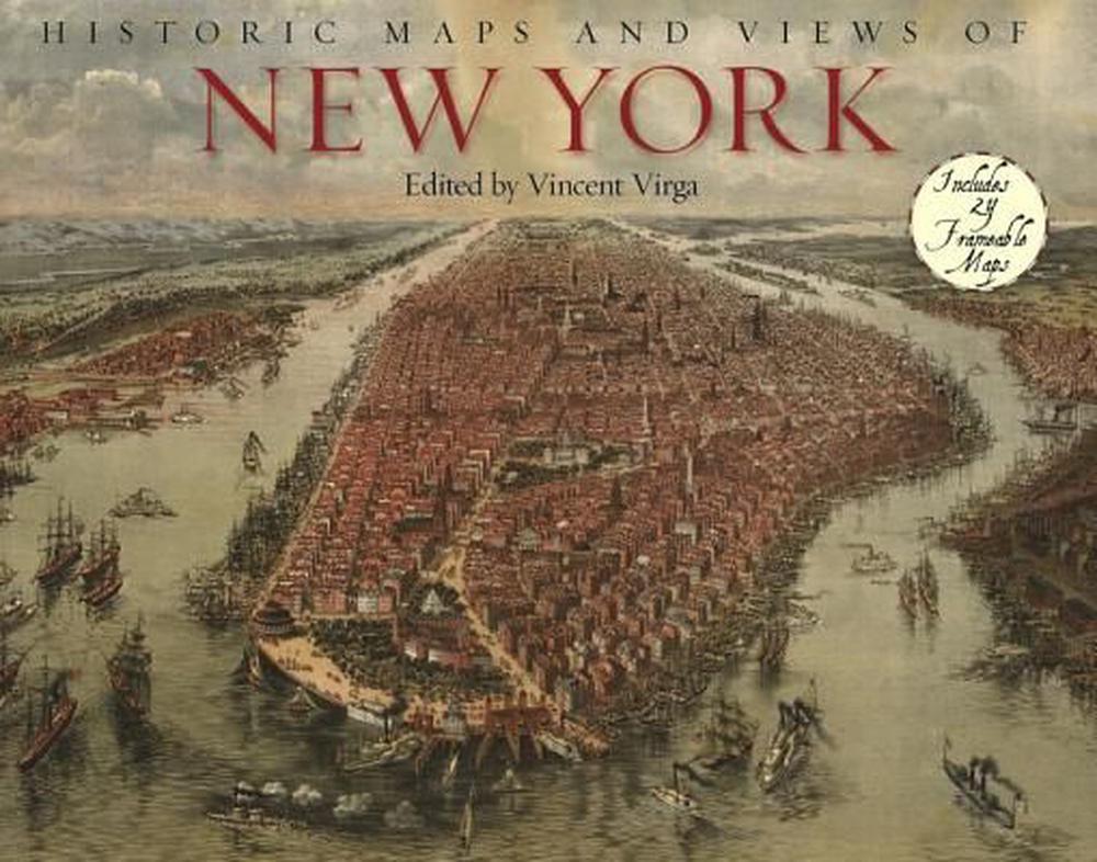
Description Twenty-four historic maps and views of New York City and its environs—dating from the 1600s through the present—ready for framing in a custom format or in a standard 11"X14" frame. This stunning and fascinating collection includes one of the earliest known maps of Manhattan, a detailed map of Central Park, a complete topographical map of the island of Manhattan, an early subway map, overviews of Brooklyn and Queens, and much more. Each map's original printing information is provided, as well as additional information that places it in historic context and further illuminates its qualities. Each map is exquisitely reproduced to show off its color and detail.
