
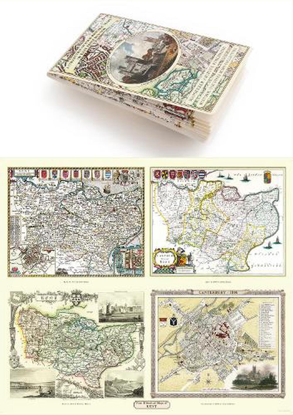
Kent County 1611 1836 Fold Up Map that features a collection of Four Historic Maps, John Speeds County Map 1611, Johan Blaeus County Map of 1648, Thomas Moules County Map of 1836 and a Plan of Canterbury 1806 by Cole and Roper.
by Mapseeker Publishing Ltd.Estimated delivery 4-14 business days
Format Folded
Condition Brand New
Description This folded map (890mm x 1000mm when unfolded) is an ideal souvenir for tourists to the County of Kent and also a valuable reference resource for local and family history research. It includes John Speeds map of 1611, Johan Blaue's map of 1648, Thomas Moules map of 1836 and the town plan of Canterbury by Cole and Roper 1806.
