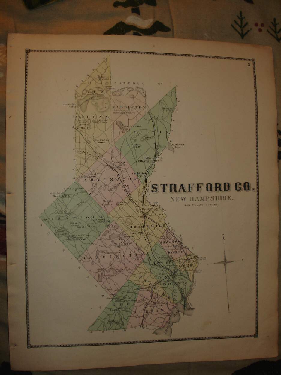
The photo wont show the full beauty of the map, the map is in excellent condition. Vintage antique 1871 handcolored map. The map is titled Strafford Co, New Hampshire. I see Dover , Durham , Madbury , Farmington , Somersworth and much more. The map shows the period towns, cities, villages, railroads, and more. This is an antique map and not a reprint or reproduction. The handcoloring on the map is period to the map, this is before color printing. The map is from the very rare 1871 Everts and Sanford Atlas of Strafford County New Hampshire. The map is a fascinating and historic period look at this area at this time. The map is in nice shape and would frame and display quite beautifully. The size of the map is 16.5" by 13.5". Winning bidder pays $3.75 shipping domestic, more foreign.
Payment
I accept the following forms of payment:
- PayPal
Preferred Checkout
![]()
Shipping & Handling
$3.75 USPS
| FREE image hosting (including supersized) with Vendio Sales Manager. |
Listing automation and FREE scheduled listings by Vendio.
