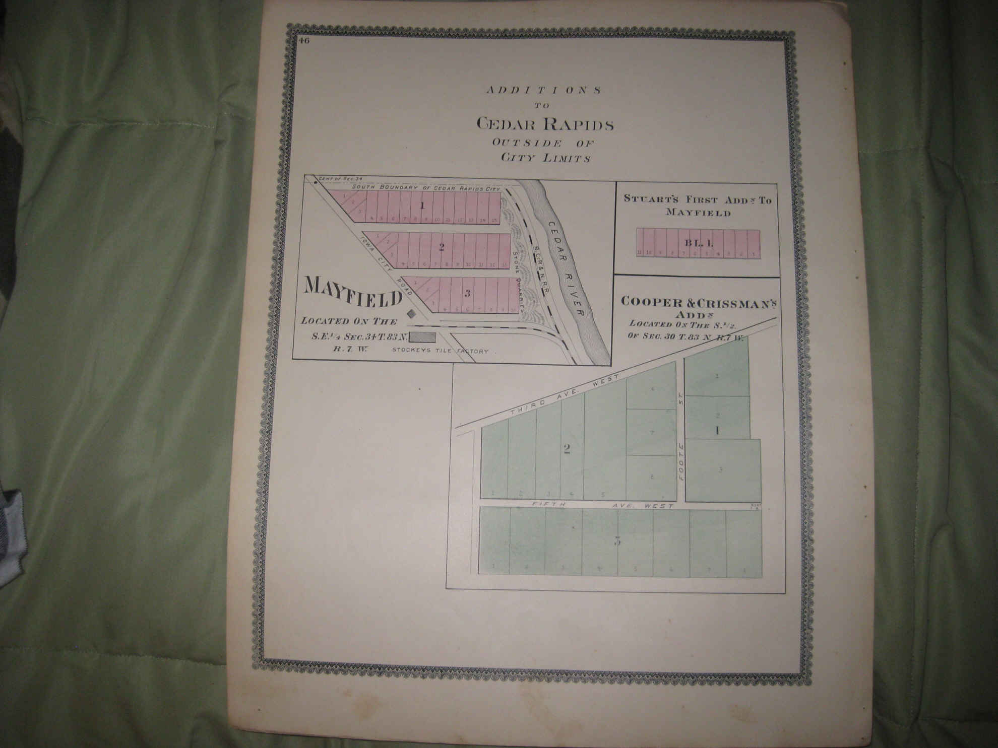
Vintage 1895 antique handcolored map. The map is titled Additions to cedar Rapids Outside of City Limits. The map is very detailed, with the named home and land owners, size and locations of buildings, named railroads, named streets and much more of this period. The map is printed on thick paper, with gorgeous period handcoloring nice outside ornate border as well, no printing on reverse. This is an antique map and not a reprint or reproduction. The map is from the very rare 1895 S. N. Parsons, W. G. Treat & J. W. Wardle Atlas of Linn County Iowa . The map is a fascinating and historic period look at this area at this time. The photo wont show the true beauty of the map. The size of the map is 15" by 18.5". Winning bidder pays $4.00 shipping domestic, more foreign.
Payment
I accept the following forms of payment:
- PayPal
Shipping & Handling
US Shipping |
International Shipping |
| FREE scheduling, supersized images and templates. Get Vendio Sales Manager. |
FREE scheduling, supersized images
and templates. Get Vendio Sales Manager.