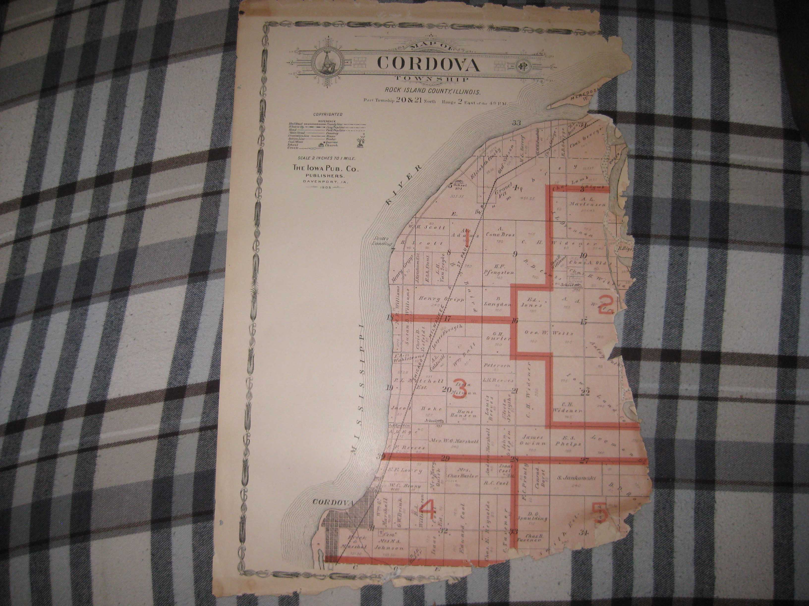
Vintage antique 1905 color lithographed map titled, in fancy antique lettering, Map of Cordova Township a with 1905 printing date at top left, I see many fascianting areas. I see Cordova and more. The map is incomplete and some is lost, see my photo. The map shows the named home and land owners, named railroads, named business and industry, size of land parcels, fine outside ornate border and more. Printed on thick fine paper, with no printing on revers, fine outside ornate bodrer as well. This is an antique map and not a reprint or reproduction. The map is from the very rare 1905 Iowa Publishing Company Atlas of Rock Island County Illinois. The map is a fascinating and historic period look at this area at this time. The photo wont show the full beauty of the map. The size of the map is 12" by 18". Winning bidder pays $3.50 shipping domestic, more foreign.
Payment
I accept the following forms of payment:
- PayPal
Shipping & Handling
US Shipping |
International Shipping |
| FREE scheduling, supersized images and templates. Get Vendio Sales Manager. |
FREE scheduling, supersized images
and templates. Get Vendio Sales Manager.