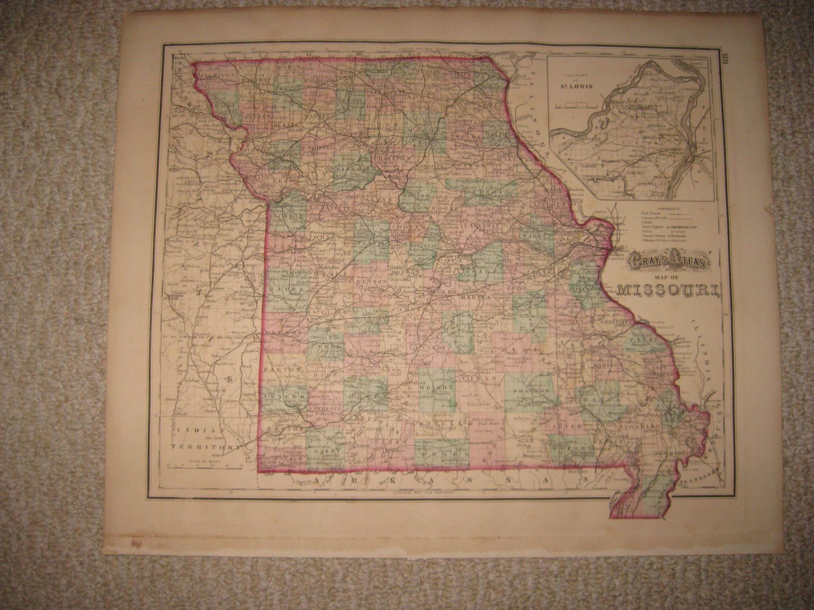
Large, superb antique 1873 handcolored 2 map, titled, in fancy antique lettering, Gray's Atlas Map of Missouri, with fine inset map of Vicinity of St. Louis. The map has a detailed Explanation chart, corresponding to the map itself . The superb handcoloring is period to the map, this is before color printing. Many fascianting areas, much has changed. Printed on very thick fine paper. This is from the very rare 1873 Gray's Atlas of the United States and World, by O.W. Gray , published by Stedman, Brown and Lyon. Gray was a highly regarded mapmaker of this period. The map would frame and display beautifully. The size of the map is 15" by 17". Rare. Winning bidder pays $4.00 shipping domestic, more foreign.
Payment
I accept the following forms of payment:
- PayPal
Shipping & Handling
US Shipping |
International Shipping |
| FREE scheduling, supersized images and templates. Get Vendio Sales Manager. |
FREE scheduling, supersized images
and templates. Get Vendio Sales Manager.