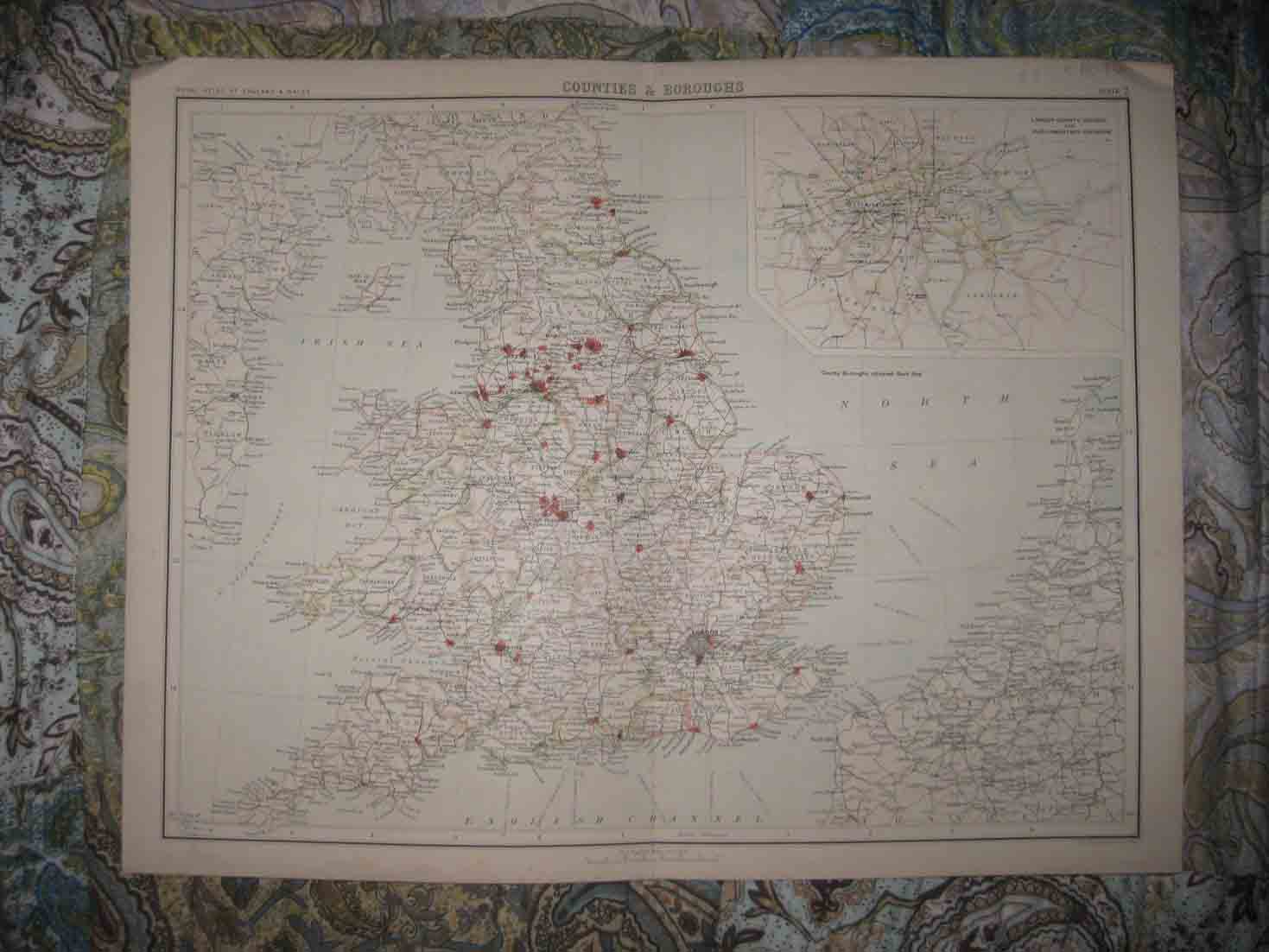
Large, superb, antique circa 1880 handcolored map, titled Counties & Boroughs, with inset map of London County Council and Parliamentary Divisions. Printed at lower right hand side is John Bartholomew & Co. Edinr. Fascianting, detailed and attractive period map of England and Wales in counties and borough. The gorgeous handcoloring is period to the map, this is before color printing. Detailed maritime areas as well. Printed on thick paper, no printing on reverse. The map is in excellent condition, and would frame and display beautifully. The size of the map is 14.5" by 18.5". Rare. Winning bidder pays $3.75 shipping domestic, more foreign.
Payment
I accept the following forms of payment:
- PayPal
Shipping & Handling
US Shipping |
International Shipping |
| FREE scheduling, supersized images and templates. Get Vendio Sales Manager. |
FREE scheduling, supersized images
and templates. Get Vendio Sales Manager.