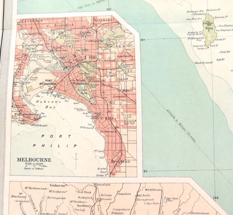
This is a large double page map measuring 45cms x 58cms. It’s ex “The Times Survey Atlas of the World” 1922 & was prepared at the Edinburgh Geographical Institute under the direction of J G Bartholomew, Cartographer to the King. It's Plate No. 107, Victoria & Tasmania. It's in superb condition & 100 years old. Horizontal centre fold with some minor foxing to outer margins. Looks far better than the photos depict. Will be posted rolled in a tube.
Always happy to combine postage where possible & practical. HNCO are not responsible for import duties or customs charges. This is the buyers / importers responsibility.