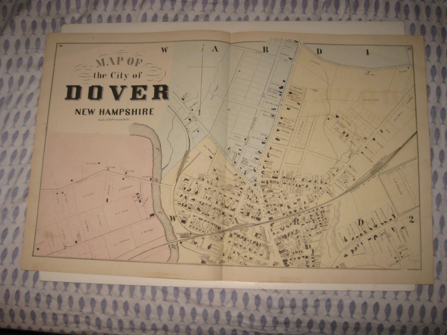
The photo wont show the full beauty of the map, the map is in excellent condition, just amazing. Vintage antique 1871 handcolored map. The map shows Map of the City of Dover New Hampshire, showing Ward 1 and Ward 2. I see the the named land owners, the named railroads, the roads and much more. This is an antique map and not a reprint or reproduction, the map is printed on thick paper, with no printing on reverse. The handcoloring on the map is period to the map, this is before color printing. The map is from the very rare 1871 Everts and Sanford Atlas of Strafford County New Hampshire. The map is a fascinating and historic period look at this area at this time. The map is in nice shape and would frame and display quite beautifully. The size of the map is 16.5" by 26.5". Winning bidder pays $4.00 shipping domestic, more foreign.
Payment
I accept the following forms of payment:
- PayPal
Shipping & Handling
US Shipping |
International Shipping |
| FREE scheduling, supersized images and templates. Get Vendio Sales Manager. |
FREE scheduling, supersized images
and templates. Get Vendio Sales Manager.