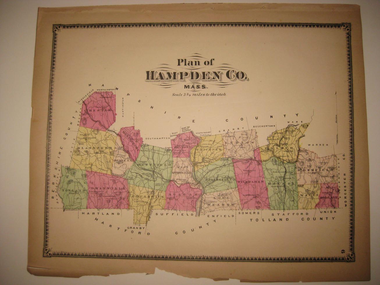
Vintage antique 1870 handcolored map. The map is titled Plan of Hampden Co. Mass. Fine, detailed period map. This is an antique map and not a reprint or reproduction, the map is printed on thick paper, with no printing on reverse The handcoloring on the map is period to the map, this is before color printing. The map is from the very rare 1870 Beers Atlas of Hampden County Massachusetts . The photo wont show the full beauty of the map. The size of the map is 13" by 16". The map is in nice shape and would frame and display quite beautifully. Winning bidder pays $4.25 shipping domestic, more foreign.
Payment
I accept the following forms of payment:
- PayPal
Shipping & Handling
US Shipping |
International Shipping |
| FREE scheduling, supersized images and templates. Get Vendio Sales Manager. |
FREE scheduling, supersized images
and templates. Get Vendio Sales Manager.