
1967 Press Photo Earth View from ATS I Satellite over California and Mexico
This is an original press photo. This photograph of the earth, taken by the ATS I satellite from an altitude of 22,300 miles, was released today in Washington by the National Aeronautics and Space Administration. The earth's curvature is at upper right. The peninsula of lower California and the mainland of Mexico show at left of center. NASA said use of a filter resulted in greater clarity and detail of the photo. EarthPhoto measures 9 x 8inches. Photo is dated 03-24-1967.
PHOTO FRONT
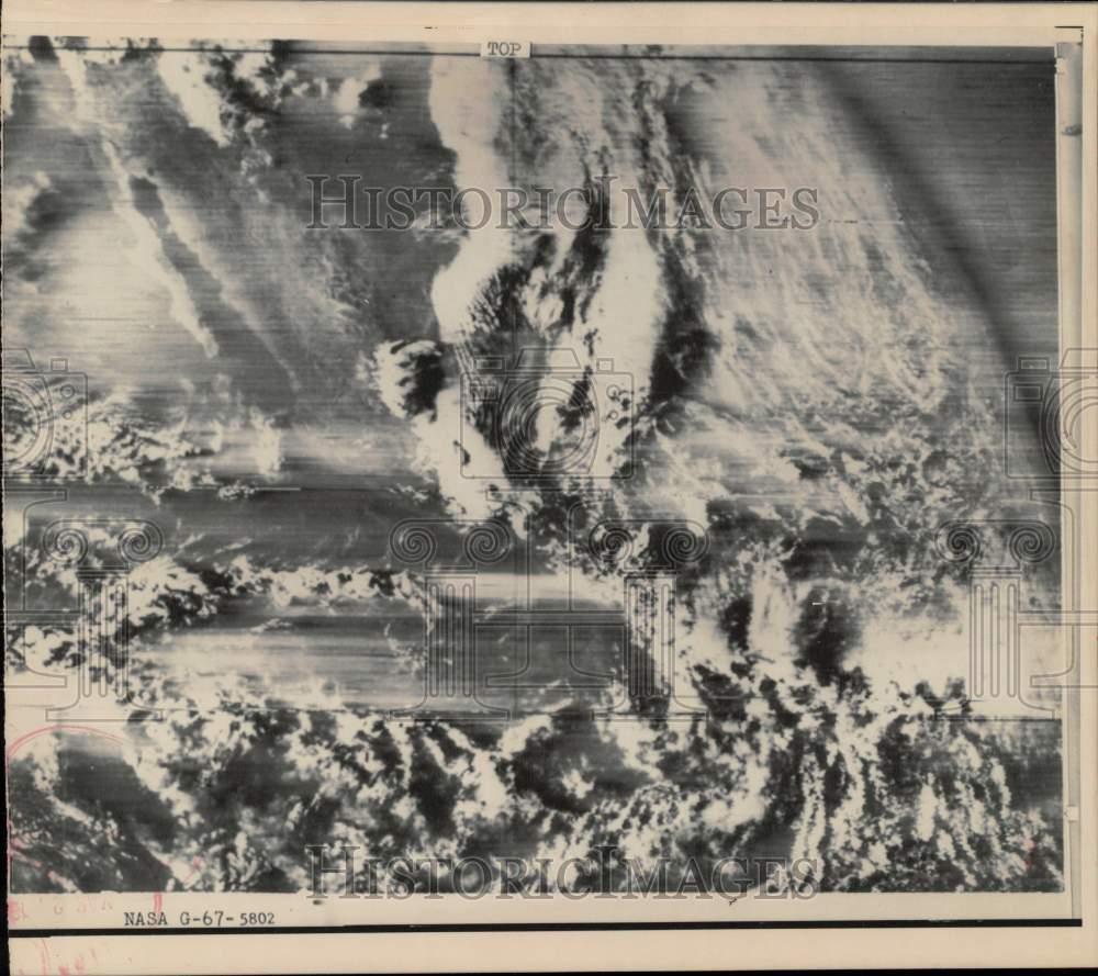
PHOTO BACK
Historic Images Part Number: hpw00870