Lake Erie Maps & Prints Ebay Store!
An Original Antique Map: Not a Reproduction!
See Our Ebay Store for other Antique Maps!
Free Shipping on Purchases of 5 or More Maps and Prints
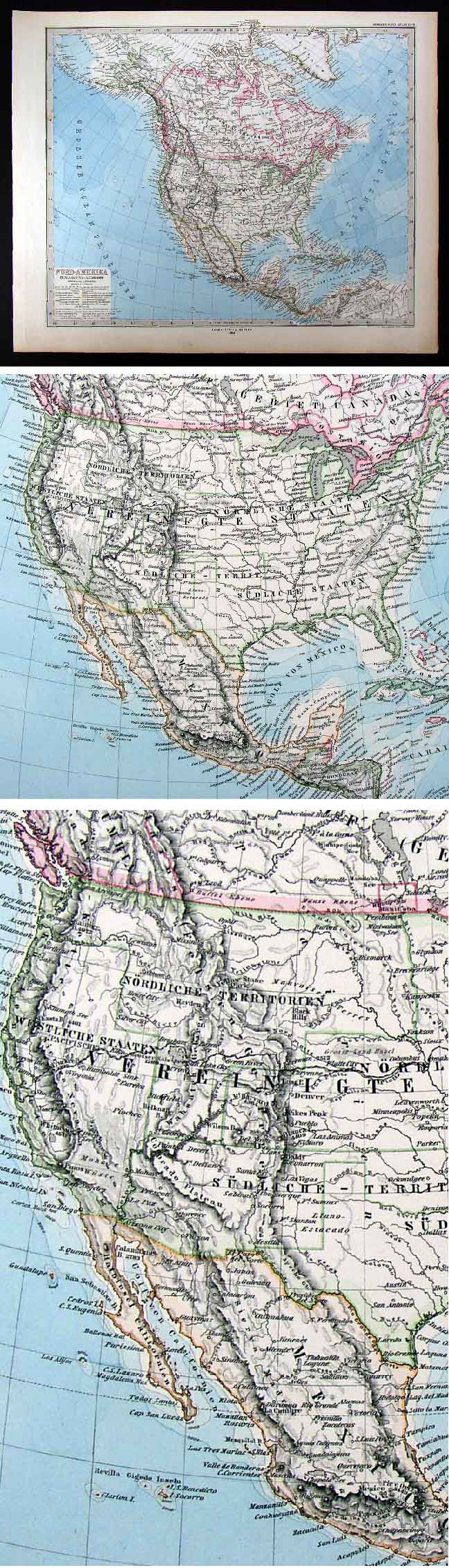
Description: It is an original antique map by Petermann published in an 1882 edition of Stieler's Hand Atlas. The map is dated 1880 and the publisher Gotha: Justus Perthes appear in the bottom center and the atlas title in the upper left margin. A copy of the title page is included for authenticity. The map is not mounted nor matted, being sold as a single sheet as seen in the first pic. Overall, A Beautiful Map that will frame up nicely.
Size: The map image measures approximately 13 by 16 inches on a 15 by 18 1/2" page as seen in the pic.
Condition: The map is in Very Good condition with overall tonal aging and some darkening around the edges. It is very clean printed on a heavy page, blank on the reverse with no centerfold as issued with vibrant color. The pics are of the actual map.
Payment Details: We accept most major credit cards through Paypal. Please ask if you have any questions about payment. International Bidders are welcomed and encouraged. Payment is expected within 7 days. Nonpaying Bidders will be reported to Ebay to recoup our listing fees.Satisfaction Guaranteed: We stand fully behind our products and offer a full refund minus shipping with no questions asked. If condition is different than described we offer a full refund including shipping fees.
Check out my other items! Be sure to add me to your favorites list!